i’m pretty sure you can’t alter the ground level in any way
Nice !! http://demo.f4map.com/#lat=35.6245482&lon=139.7754687&zoom=21&camera.theta=59.954&camera.phi=-1.719
Something is going wrong. All roof shapes are flat…
we were having a problem yesterday. it should have been fixed around 12:30 CEST ![]()
OK, it works now. ![]()
Implement area:highway in your model. See: http://osmapa.pl/w/area/?lat=52.10564&lon=19.94723&zoom=19&ol=BP
Specification:
http://wiki.openstreetmap.org/wiki/Proposed_features/Street_area
Daily comes now about 1000 new areas…
About that problem:
- still no fix?
sorry we had no time to look into it ![]() I’ll try doing it during this week
I’ll try doing it during this week
[EDIT] looks like a bug with dome roof without roof:height or roof:levels . basically for roof, we try to calculate the diameter of the base building to draw a nice rounded roof.
Adding height should fix it for now. we’re trying to fix it anyway. FYI, for pyramidal we apply a default 4m height.
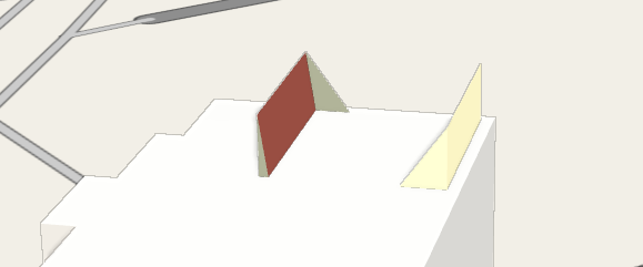
Might be a similar problem here: glitched rendering of gabled roof. Changing to pyramidal fixes it.
http://www.openstreetmap.org/way/367824450
http://demo.f4map.com/#lat=53.9474171&lon=27.6754410&zoom=20&camera.theta=35.832&camera.phi=35.81
Also, can we force a refresh for a specific building? Waiting until the next day after every little change is really frustrating.
should be fixed now ! thanks for the report (with nice and useful details, it really helped debug).
caching is done per “tile” so you can’t force a specific building ![]() it’s 12h of cache right now.
it’s 12h of cache right now.
I understand it can be really frustrating. I’ll try to think of something.
Doesn’t work even though I explicitly specified roof:height
I have found some problems with 3D objects in Warsaw on F4, but it doesn’t seem to me to be a data issue (at least Kendzi3D shows them properly):
@kocio
Metropolitan : be careful, relation#75539 is also marked as building
way 238660071 is marked as building with a height = 0.1. I think this is to avoid volume rendering. for f4map you can use building:part=no for that. height on the building should always be the real height of the building
That being said, I don’t know what’s causing the bug, we’ll look into it too
For the library, there are no parts starting from the ground. It seems like you’re trying to use the outline for rendering this time. You must use a part for that too, and set the correct height on the outline (which is not rendered at all since it’s fully covered by parts)
Thanks! I will pass the message to the people dealing with those 3D objects.
I have also more general 3D-related problem. I try to render fountains on osm-carto, but it seems that current definition (amenity=foutain) does not cover such things as nozzles and other objects being a part of fountain (for example lights and the artworks). For example in this fountain:
http://www.openstreetmap.org/way/79738429
the name shows that “fountain” is this whole structure, but it’s tagged just as a water and individual nozzles are tagged as amenity=fountain. My current tagging idea goes like this:
https://github.com/gravitystorm/openstreetmap-carto/pull/1804#issuecomment-137197243
but maybe looking from 3D perspective you have more ideas to try?
Something changed some time ago and now most buildings in Moscow, Red square (and Kremlin) are gone
http://demo.f4map.com/#lat=55.7521494&lon=37.6247769&zoom=17&camera.theta=43.236
http://www.openstreetmap.org/#map=18/55.75264/37.62351
They are tagged as relation type=multipolygon+building=yes + type=multipolygon + building:part=yes
It seems there’s a problem with elevations activated. try without them ![]()
EDIT : fixed with elevations! thanks for the feedback ![]()
Apologies for hijacking this thread, but I’ve been trying to get in touch with f4map.com since we’d like to know what the licensing options are to integrate the map into a custom, commercial application for GPS tracking - to no avail. Is there anything you can do to get me in touch with the right people?
You can email me: johan (dot) dams (at) wrdsystems.co.uk
Dear F4 team,
I go crazy because of differences of the interpretation of 3D tagging between you and Kendzi3D which is the only one existing tool which shows in real time what happens during 3D attributation of tags.
An good example could be this: http://demo.f4map.com/#lat=27.7151026&lon=85.2904818&zoom=21&camera.theta=72.215&camera.phi=-14.61
https://www.openstreetmap.org/way/201223707
I would suggest a meeting to clarify the differences.
I have also suggestions regarding bottom parts of building:part elements.
I started to describe this here: