Instant, and immediate revert… block user.
Changing a hospital service road to a tertiary highway for COVID reasons … clearly a misguided do-gooder !
Why wait, why fanny about … DWG, immediate revert and block, please. It sends a message.
Russ
I agree. Revert and block. Force him or her to explain their actions and if the response is acceptable, then allow editing on a limited basis. Perhaps demand that each changeset be checked by a veteran OSM member. That would both reduce the errors and limit the damage as well as providing important feedback to the new user.
We’re seeing a plague of users who don’t know or don’t care about correct practices. I’ve been going crazy with user:mCloud00 for the past few months but decided to ignore his work as much as possible in order to preserve my sanity. I want to say his mapping has improved recently and perhaps it has but if so it’s only a slight improvement. Then we have Grab, and Amazon, and Kaart all “doing their thing” with OSM additions.
I believe it’s time to figure out a way to limit or restrict new users before turning them loose on data that others have labored long and hard to interpret for inclusion in OSM only to have some well-intentioned noobie come along and screw it up. It’s very frustrating to say the least. I don’t know how to achieve this but I feel strongly that it’s something the OSM community and leadership needs to come to grips with.
Dave
I feel quite sad about new-comers wanting to do something good. They find HOT or other mapping activity “for a good cause” and start mapping. Unfortunately all these organized editing organizations seem to care much more about quantity than about quality.
Understandable. High numbers sound great in fund-raising campaigns.
Just leaving their volunteers alone. No proper introduction on how to actually map. No review or mentoring to avoid ending up with some large-scale poor quality result. And then much later the community discovers the mess and is upset.
I still have the hope that we get some feedback who actually organized the campaign this time. Hope we can get in touch with them and improve the quality.
On a side-note: I repaired some obviously broken mapping from one of the malaria campaigns. The changeset hat the flag set that the contributor wants to have a review of the changes.
Is anyone of you at least from time to time reviewing these changes and providing feedback?
The organizer had failed to monitor this. Maybe we could help these mappers. As they actively asked for a review there is a high chance they are happy to get some feedback on how to improve mapping.
But this feedback should come in a reasonable time after the mapping and not months later.
Stephan
I can help with this. What is the identifying tag and how do I locate the changesets he’s asking to be checked?
If a person asks for help, I respect that. It’s the ones who just do whatever they want without even reading the Wiki that make me crazy. How did user:Maisha Mahboob ever decide to tag a hospital driveway as a tertiary highway? It’s downright stupid.
Anyway, I’ll incorporate these changeset validations with my other mapping chores.
A general problem with directed edits is that someone tells volunteers or paid staff what to map. See the Organized Editing guideline, for example linked very prominent at the top of the wiki page.
To review, an easy way is to use an osmcha filter. This one lists changesets having the request for review flagged in Thailand:
https://osmcha.org/about?aoi=cb64c254-ada7-4de7-877f-8a961dcc9157
You can flag these changesets as reviewed as well to avoid double-reviews.
Yikes, it’s a ton of work just to process one edit. I’ll give it some time over the next few days and see if I can tolerate it.
It’s not clear how to “flag as reviewed” once I’m finished. Also, when one fires up your OSMCHA link one sees ALL changesets until after logging in. Then re-clicking on the link will load your setup and flagging for the Thailand changesets
Thanks,
Dave
Osmcha needs some time to get used to. But it allows to quickly review the most critical changes.
To use it you have to log in. The review rating is in the top-right corner when reviewing a changeset.
It’s in the top right corner of the OSMCHA screen, yes, I found it.
This is a difficult and time consuming job. I just reviewed a single changeset by user:ccaputo in changeset:90438627. I have never seen such garbage mapping in all my years with OSM. Absolutely unbelievable. I deleted all of his buildings, 667 nodes total, so if you visit the site you won’t see how bad the buildings he added were. Here is my changeset comment for just this single changeset!
his hashtags are : #tm-project-6028 #EliminateMalaria thailand #MissingMaps #ThailandNMCP
This mapper should be blocked until? Maybe forever. What a sorry state of affairs this is. And just think how much damage he could be doing if he hadn’t asked for feedback. He’s still mapping even as I write.
All I can say is, holy crap! And that’s putting it mildly.
Dave,
When I got bored I used to do the same in Korat/Roi Et … It Potlatch2, you can select a complete town where all the buildings were drawn as rather poor misaligned “areas”, often on top of roads… then click the roads, and any other good data, (to remove them from the selection) … and delete.
Cud do a village in about 3-5 mins if not too large. Changeset comment made accordingly.
However, unless Potlatch2 gets a new lease of life on a different platform in Dec, I wont be doing much more of that ![]()
And I totally concur with these sentiments … I don’t know if there is way to tell how many seasoned mappers have given up on OSM because of the never-ending changes to their hard work in getting stuff correct. Many of us map because we take a pride in drawing and tagging as accurately and correctly as we can … I don’t enjoy being part of the OSM police and correcting others rubbish.
I continue to see the poor Facebook road tagging in Thailand, and want to send the mapper a message … click on a user name, and you will see their last edit was “over 2 years ago”. Seems like they all stopped mapping after they had their fun.
Yes, sadly this inability to stop organisations such as HOT, and Maps.me from allowing anyone to just add stuff willy-nilly has certainly destroyed my enthusiasm for OSM over the years. ![]()
Hello,
yes, all these HOT, RedCross, MissingMaps, Malaria, Covid mappers, they all think they do good and probably not notice that most of their work is simply a complete waste of their time as their mis-aligned, oddly shaped, badly tagged polygons can only be deleted.
(@Russ: side-note., maps.me is individual mappers. They just use a bad application. Typically only sporadic edits and not systematically off like the campaigns mentioned before)
Think of how much we could improve OSM if these mappers would be properly guided and not simply left alone with unspecific tasks. They simply get cheated and exploited by the organizers of the mapping.
For the purpose of the organizers they do not need proper shapes. Simply “count buildings”, multiply by population density or average household size and you get your malaria statistics. A simple node saying “here is a building” would do the same.
They just use OSM as a nice datastorage, because it is already there and tools exist.
So coming back to the initial case, where I assume the rationale is similar.
I got feedback that “they are looking into it” and they asked to not yet revert the edits. So also, please do not try to repair/touch it. Otherwise we end up with a lot of conflicts in case we want to revert.
I give time until next weekend. If it is not fixed, I will revert the changes. Also still waiting for contact details of the organizer of the mapping.
Have you identified other user accounts of the same mapping campaign?
I have heard back from user:ccaputo and he is cooperative and seeking understanding. He was angry at first but after I explained our frustration with some of the recent mapping, he changed his mood and tone of communication. I checked some of his other work and it was okay.
Without thinking, I went ahead and removed the redundant buildings from two of his changesets so those do not need to be reverted. I did that because I was angry at the time but I promise I will not do any other editing of “badly mapped” changesets. I also checked some new work by user:mCloud00, who almost drove me crazy earlier this year but his newer stuff is much better. He has improved over time, as we all have.
So, I admit to being confused about how to proceed. Both of these mappers have done work that is poor and also done work that is decent. In addition, both of them have reached out to ask for help. It’s hard to penalize them given their willingness to improve.
From a DWG perspective, I don’t believe we’ve had a ticket or an issue raised for this user. I’d suggest raising one for this or similar users.
@SomeoneElse: Thanks for dropping by.
I guess the reason I haven’t resorted to that is because during our interchange of comments this user has convinced me that he will try harder to make his edits better. The duplicate buildings may be the fault of the HOT task manager that allowed two users’ data to overlap, which is admittedly unlikely, but he swears there were no buildings present when he added the duplicates. He was also unaware of the need to determine imagery offsets but is reading about that now. He’s using the iD Editor but nobody told him about the tool to orthogonalize building shapes nor did they recommend or coach him on doing things right. I pointed out iD’s builtin tools and he’s also studying them now.
Here is a snippet from our long conversation about changeset 90438627. I had asked him just previously if he was getting paid for his work.
If you’re interested, here is the full changeset conversation: https://www.openstreetmap.org/changeset/90438627#map=19/15.30471/105.49395
So, there you have it. Carlo is a fellow, one of many, who is trying to help his organization do good but is not trained or really motivated from the mapping side of things as most of the rest of us are. That’s bound to lead to issues. The question is how to resolve them. Reviewing changesets is difficult and very time-consuming. I looked at another changeset earlier this evening and there were 16 identical U-turn restrictions on a single junction. Obviously, this fellow was in over his head but being able to offer useful help to correct the situation takes a lot of time and careful study. I don’t have that much time to give because while I’m busy untangling his mess, I’m putting off my own mapping chores.
Dave
@AlaskaDave, thanks for the detailed explanation.
I wonder if it’s perhaps worth posting elsewhere about this sort of thing (one of the international lists maybe) trying to recruit some “reviewers” there? As you say, reviewing changesets is difficult and very time-consuming, especially if there was valid stuff being added among the not-so-good stuff.
Hello Dave,
I am glad that this one seems to turn to the better.
As I mentioned before: This experience is probably typical to most of these mapping campaigns. You read somewhere about OSM searching volunteers to help. You decide to help after having heard of OSM, so there you are.
But then reality: Just a tasking-manager with quite sparse information about how to do things on OSM. And potentially a workload in the tasking manager you committed yourself to. Maybe even some ranking telling you how much more the others map.
But no mentoring. No slow start than we all had before. Doing some baby steps before heading for bigger and more complex tasks.
I see this as a real problem of all the campaigns. No quality control, no coaching.
A similar example from malaria mapping:
Building outlines remotely matching buildings on Bing imagery, but no respect to the shape of buildings. GPS tracks are available. There is an offset between Bing and Maxar Imagery. I could myself not decide which one fits the multiple GPS tracks better, so not complaining about this.
In this example buildings all have “House” as name. A different part of the city has the house-numbers in the name tag.
So yes, there are people on the ground. Imagine how much additional details we could get with very little extra effort besides house numbers. Key Infrastructure like temple, school, or even the name of the village. Just: No one contacted us beforehand, so another lost chance.
These are building=house. Others tag building=roof, building=yes or area=yes for exact the same thing. If they would just have contacted an experienced mapper before…
There are plenty of these examples in the area towards Myanmar border or in Isaan (also in the border region to Laos/Cambodia)
The one above was just one where they used height= for duplicating the housenumber. I spotted it by reviewing for obvious mistakes in the data to prevent more gossiping in the MS Flight Sim context.
Stephan
I hate it being lied to. User had promised to fix their bad edits, nothing happened. I have now reverted the bad edit.
There are more users editing similar. This one edits inside Thailand, but claims in changeset comments to do in Laos:
https://www.openstreetmap.org/user/HealthGeoLab/history#map=7/18.187/99.516
Please keep an eye open on these edits. I also refuse to believe there is an urgent need of doing covid-19 related mapping, as in the last four months, there had been no significant numbers of local transmissions happening.
I don’t see any changeset discussion comments?
(apologies if I’m somehow looking at the wrong user here)
Hello Andy,
it was about user Maisha%20Mahboob tagging service roads near hospitals as tertiary to have them stick out more. Also as edits happened all over the country I have doubts regarding the data source in case something was added.
Discussion happened later in OSM messaging.
The edits by user HealthGeoLab follow the same pattern, for example this service road was added as a tertiary:
https://www.openstreetmap.org/way/839053969/history
I also did leave a comment on the relevant changeset now: https://www.openstreetmap.org/changeset/89698596
I do not have the capacity to follow up all these edits. If someone has a good query to run on a rendering DB to fetch all tertiary roads nearby hospitals and only highlight the recent two months then it will probably highlight more users.
Maybe comparing the length of tertiary could work. I will think more about a query in case I have a few minutes during the day.
Stephan
I checked for Thailand and other countries of south-east-asia whether there are more cases.
Besides the way mentioned above I found no other tertiary highways added near hospitals.
I queried the rendering database and checked the suspicious ways manually.
SELECT DISTINCT w.osm_id AS "way_id" FROM planet_osm_line AS w, (
	SELECT way FROM planet_osm_point AS n
    WHERE n.amenity='hospital' AND st_within(n.way , (SELECT ST_SimplifyPreserveTopology(way, 500) FROM planet_osm_polygon WHERE osm_id = '-2067731'))
UNION ALL
    SELECT way FROM planet_osm_polygon AS p
	WHERE p.amenity='hospital' AND st_within(p.way , (SELECT ST_SimplifyPreserveTopology(way, 500) FROM planet_osm_polygon WHERE osm_id = '-2067731'))
) AS h
WHERE w.highway='tertiary' AND w.name IS null AND w.ref IS null AND st_length(w.way) < 2000
AND st_dwithin(h.way, w.way, 250)
ORDER BY way_id DESC;
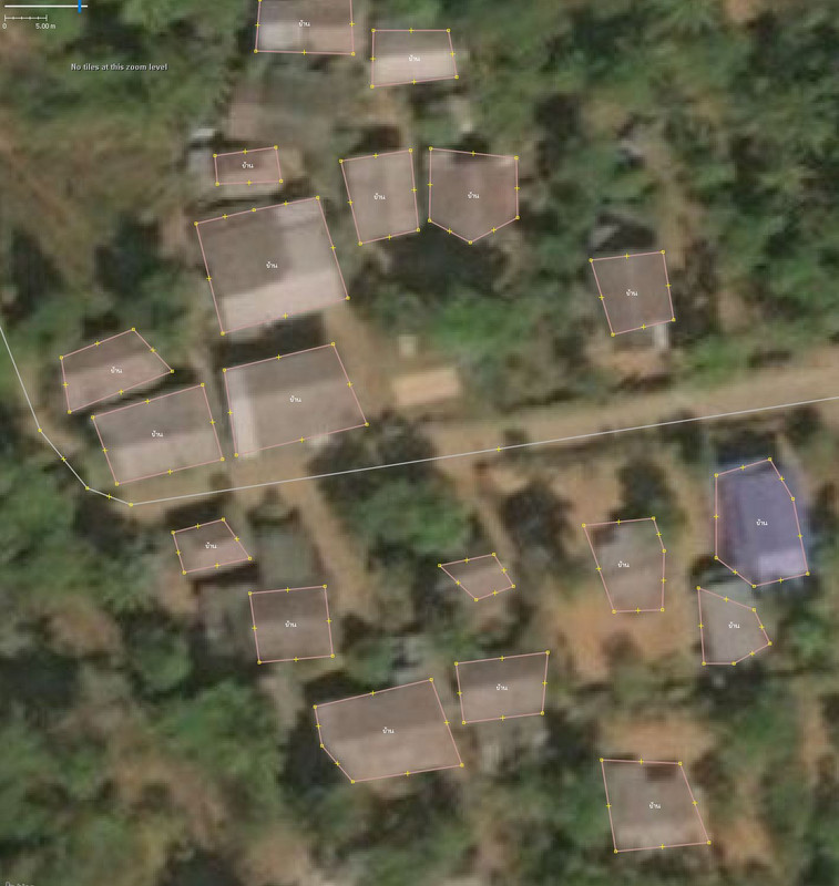
FYI, I came recently across many similar changesets recently in the north where hundreds of farming huts are being added as building=yes, some of them wrongly mapped with outdated Bing imagery.
#tm-project-6041 #EliminateMalaria #Thailand #MissingMaps #ThailandNMCP
After getting in touch with the user (marco443 | OpenStreetMap ) initially through changesets comments, and realizing he’s mapping from France, I asked him (translated from French):
His answer was:
Update: This “project” is actually coming from HOT, see https://tasks.hotosm.org/projects/6041
The public page mentions “Please only map this task as part of the Thailand NMCP training. All validators welcome”
However, the “who can map” section says “All users”
This explains:
- tags are coming from the HOT page instructions
- mappers are random volunteers around the world who want to “do good”
- mappers do not know each other and simply follow basic instructions (e.g. add a maximum of buildings in this bounding box using any imagery)
To avoid further confusion/conflicts, I have contacted the organizer of the HOT campaigns in Thailand https://www.openstreetmap.org/user/avward
and requested that for all existing and future campaigns:
- a URL to the HOT campaign be included in the changeset comment
- “Who can map” section be updated with the correct target group (if any)
- reference to https://wiki.openstreetmap.org/wiki/WikiProject_Thailand is included in the guidelines section
I will update the thread once I hear from him.