I have seen other places where arey=yes polygons are used to store internal identifiers in the OSM database. Recent example open in my editor is way 680693588.
I contacted editors multiple times, changeset comments or direct messages. I never received any reply. Not the best background experience to approach new users making the same mistakes again in these campaigns.
In case you have not yet noticed: iD stores additional details in the changeset. For example how many edits a user did so far and whether a review of the changeset was requested. Obviously in all these directed editing campaings no quality control happens, not even changesets with explicit wish for review are checked by the organizers.
It also shows how many warnings about wrong tags or overlapping ways they willingly ignored when submitting.
Given that these commercial “do good” entities like HOT try to optimize their profit it is understandable to offload these tasks to the local community and focus on more fundraising campaigns to bring in more new mappers.
To follow the process: It is absolutely crucial that you leave changeset comments in the relevant edits. This proves that we tried to resolve it. Otherwise DWG can’t help.
The vast majority of directed edits in Thailand are violating the Organised Editing Guideline and could last-resort be reverted:
https://wiki.osmfoundation.org/w/images/6/62/Organised_Editing_Guidelines.pdf
A while ago I also mentioned this very prominent in the Thailand wiki page.
I would like to keep the local people involved in some of these campaigns and help them mapping properly. We need on-the-ground people.
Your message reminds me that I wanted to compile a case for DWG. I found areas where they publicly tagged malaria cases. I think it is a very sensitive personal information whether you have malaria or not. In Europe, publishing such medial detail is probably in violation of the GDPR. End even if not, I strongly consider it inappropriate and it does not belong into OSM.
As these Organised Edits clearly outnumber us and we have not the capacity, can we agree on a policy on how to deal with it?
Shall we define a process on how to approach each editor and define criteria about when to revert the changes completely?
BTW: As some of the editors have discovered the functionality to create circles, we end up with more and more silos in Thailand. Especially funny, given that these buildings are a source for created buildings in other software like the recently release MS flight simulator.

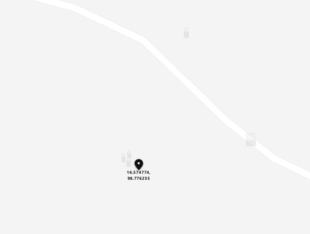
In this area you can see lots of the weather shelters on the fields are mapped as buildings. While technically correct, in the context we seen them used they clearly aim at finding inhabited places. The map is covered with tiny “buildings” only a few square meters in size in the mittle of fields. For example this one roughly 3x3 meters: way 690768512
https://www.bing.com/maps?osid=187fb36a-ae84-4c95-9438-2150efd2fef5&cp=16.574855~98.775671&lvl=19&v=2&sV=2&form=S00027