How to call / tag this ?

The upholsterer: https://wiki.openstreetmap.org/wiki/FR:Tag:craft%3Dupholsterer
(appears only in the frech version?)

The drone pilot: not sure, but I’ve asked in the Riot channel. Of the members is a (recreational?) drone pilot, so he may have an insight on what would be a proper tag.

No existing tag I can find on the wiki, nor on Taginfo. You mapped it as “craft=drone_pilot” for now. In values for keys with “well-known values” use underscores rather than spaces: “craft=drone_pilot”.

If you search for “upholsterer” on the wiki, you immediately find https://wiki.openstreetmap.org/wiki/Tag%3Acraft%3Dupholsterer.

No :stuck_out_tongue:

done … made an underscore between … :wink: … but i just wonder why it is ‘necessary’ ?

OK, tnx,… just corrected it … :wink:

I think office is a better fit than craft. it, accountant, architect are all under office.
Craft is more for manual labor such as carpenter, black smith, etc.

done … made an ‘office’ instead of ‘craft’ for a drone pilot :slight_smile:

Ik kom nogal wat tegen.
En veel waarvan ik niet weet wat het is, of waarvoor het dient.
Ik zou er een eigenlijk een nieuwe plezante topic van moeten maken.

Hier iets dat iets met de spoorwegen te maken heeft.
https://www.openstreetmap.org/note/1652248#map=17/51.15087/4.51989&layers=N

Looks like some kind of antenna / sensor. But couldn’t find more info on it either.

And do post the weird stuff - could be interesting.

@phillipec, you could ask user eimai, he should know what it is.

I agree on posting the weird stuff, we all can learn from it.

how to tag a ‘piece’ of road in a roundabout , that only is allowed for long ‘exceptional traffic’ ? →

highway=service
access=private (“Only with individual permission” from OSM-Wiki)

EDIT ; i made an access=restricted + exceptional_traffic=yes instead . :wink:

what is best to do with this? i made a ‘popinjay’ mast (staande wip in flemish) on this page → https://wiki.openstreetmap.org/wiki/Tag:man_made%3Dmast
but ‘tower:type=sport’ seems not (yet) ‘applicable’ ? :roll_eyes:

edit : seems like someone has already ‘come to conclusion’ :stuck_out_tongue:https://www.openstreetmap.org/node/6267932883#map=19/51.08501/4.33037
so i changed it also in tower:type=popinjay

Wat dat ding naast de spoorwegen betreft,
ik heb iets gelijkaardigs gevonden in Kapellen, twee zelfs
https://www.mapillary.com/app/?lat=51.34489849900498&lng=4.4500818837810945&z=12.14760730851345&pKey=LZpNgHEz7R5HDSRMrf2tlw&focus=photo

De microfoon ? is leesbaar van het merk
https://www.bksv.com/en/

Het lukt mij tegenwoordig niet een foto in het bericht te slepen.

lijkt me een ‘sound and vibration’ meter , maar dan geen ‘handheld’ … :wink:

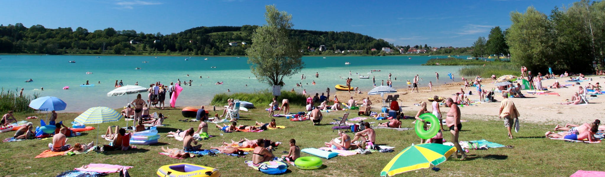
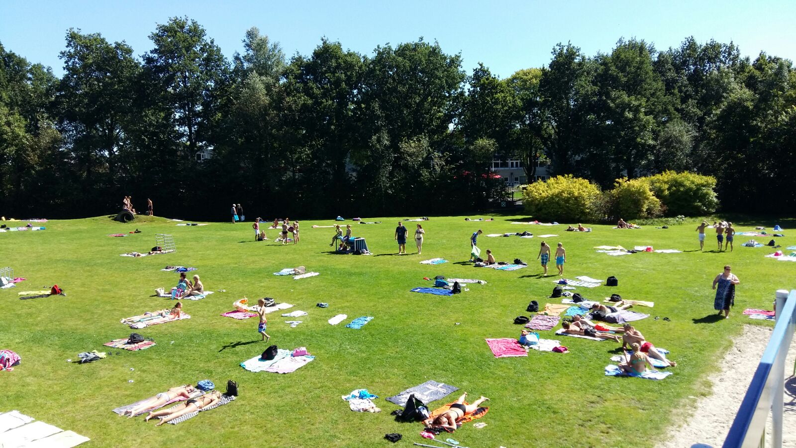
how to call a ligweide (also in Flemish / Dutch called ‘zonneweide’) in English ? it is not ‘specific’ a playground, but rather a kind of lawn to ‘lay down’ and sunbathing … :stuck_out_tongue:

https://www.google.com/maps/@38.0476842,23.7440067,3a,62.7y,317.53h,90.91t/data=!3m6!1e1!3m4!1sChQf5fMde09-GhAA32sG-Q!2e0!7i13312!8i6656?hl=el-GR

Is this some type of open-air squash court?

I’ve not seen one of those, but I’d probably guess something along those lines.
Just to be sure: keep in mind Google StreetView data is not within license to use as source data for OpenStreetMap. You need to either survey in the field, or rely on data sources that are within license (several sources of aerial imagery, OpenStreetCam, Mapillary, … )

EDIT:
Probably better to ask in the greek subforum, they may know more/better:
https://forum.openstreetmap.org/viewforum.php?id=27

Actually, I pass by every week, but I don’t possess a camera so I can take a photo. I don’t think greeks can help me. I haven’t seen something like that anywhere else.

My first impression from StreetView-Images was leisure=dog_park :smiley:
Looks to me like a gerneric leisure=pitch with fences without any specific sports denomination.

Well, that´s exactly its current unofficial use, most of the time! However, after a short search in the municipality´s web page, I found out that it´s a tennis training wall (there are 3 tennis courts right next to it). Is there a way to tag it?