edit =
Ik heb er in Antwerpen een note van gemaakt.
Volgens mij is het een drinkwaterfonteintje, door een technische school gemaakt, dat in onbruik geraakt is.
Dat is maar een vermoeden.
Maar ik ken geen andere drinkwaterfonteintjesspecialisten.
Is there any indication what it’s used for? I can’t really tell from the image, but it looks like something you put an extra piece into, to open a gate / sluice / … Not sure if in real life the sign on the right explains it?
The drone pilot: not sure, but I’ve asked in the Riot channel. Of the members is a (recreational?) drone pilot, so he may have an insight on what would be a proper tag.
No existing tag I can find on the wiki, nor on Taginfo. You mapped it as “craft=drone_pilot” for now. In values for keys with “well-known values” use underscores rather than spaces: “craft=drone_pilot”.
I think office is a better fit than craft. it, accountant, architect are all under office.
Craft is more for manual labor such as carpenter, black smith, etc.
Ik kom nogal wat tegen.
En veel waarvan ik niet weet wat het is, of waarvoor het dient.
Ik zou er een eigenlijk een nieuwe plezante topic van moeten maken.
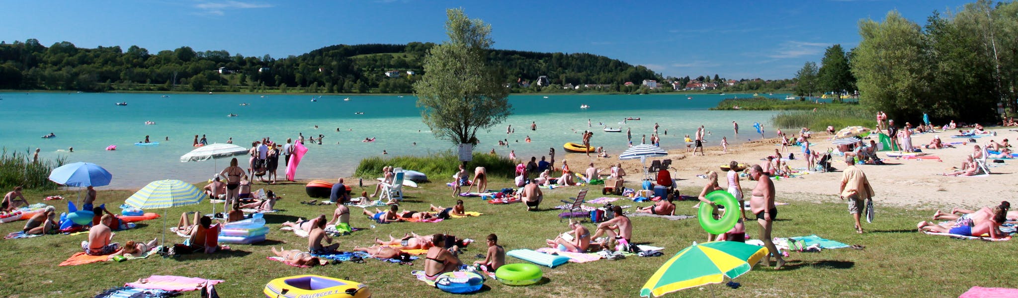
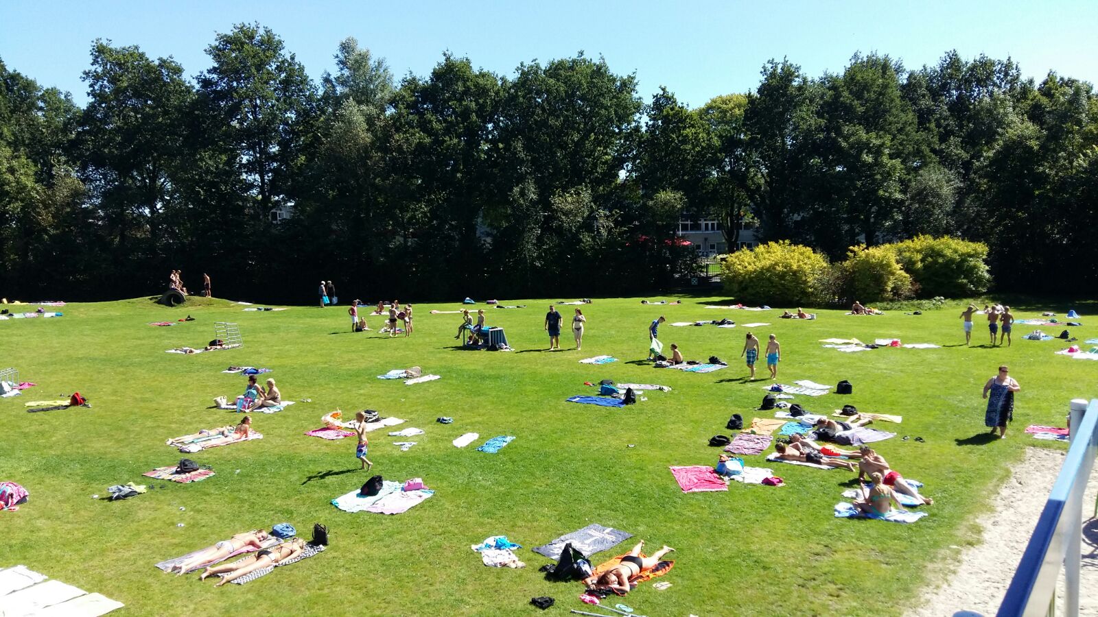
how to call a ligweide (also in Flemish / Dutch called ‘zonneweide’) in English ? it is not ‘specific’ a playground, but rather a kind of lawn to ‘lay down’ and sunbathing …
I’ve not seen one of those, but I’d probably guess something along those lines.
Just to be sure: keep in mind Google StreetView data is not within license to use as source data for OpenStreetMap. You need to either survey in the field, or rely on data sources that are within license (several sources of aerial imagery, OpenStreetCam, Mapillary, … )
Actually, I pass by every week, but I don’t possess a camera so I can take a photo. I don’t think greeks can help me. I haven’t seen something like that anywhere else.