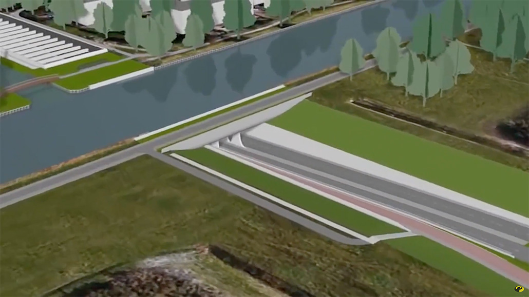
A discussion about how an aqueduct crossing a highway should be mapped has arisen. IMO it’s obvious that an aqueduct should be mapped as it is in nature. Yet this collides with the rule bridges should be avoided across tunnels.
An aqueduct is a rather distinct object and has most of the time its own name. Besides a highway passing under an aqueduct doesn’t get its name. Even when you pass under an aqueduct you notice the aqueduct. Mapping a tunnel under an aqueduct doesn’t make much sense, since one never gets the impression of moving into and out of a tunnel.
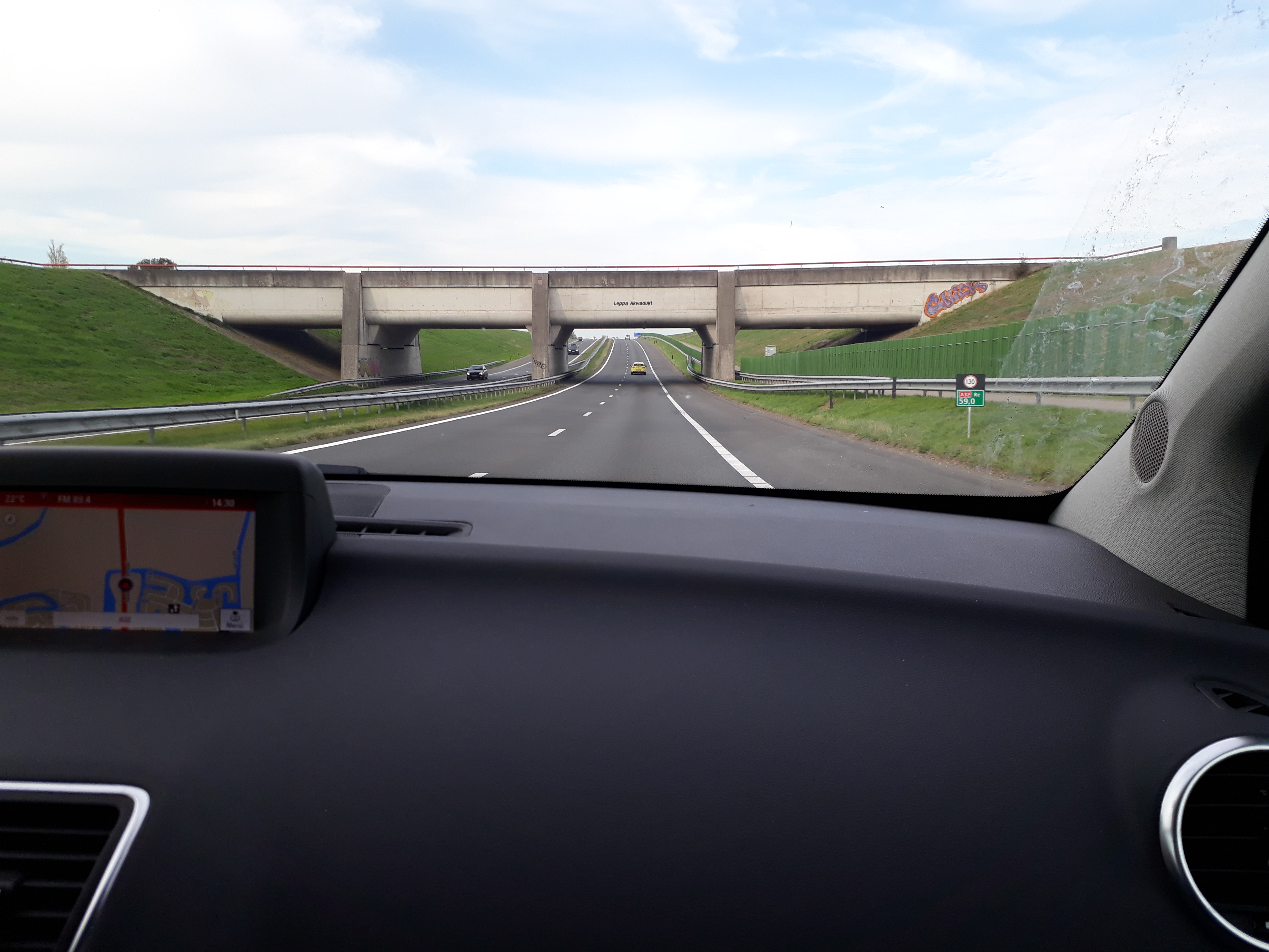
To see what’s happens when a waterway (no aqueduct) crosses above a highway (tunnel) is mapped go to https://www.openstreetmap.org/#map=18/53.18479/5.81920.
Other better samples:
https://www.openstreetmap.org/#map=19/51.98960/4.32345
https://www.openstreetmap.org/#map=19/51.97200/4.60222
https://www.openstreetmap.org/#map=19/53.05679/5.84104
IMO the best solution is to map the waterway an aqueduct (layer=0) and the highway as an underpass (layer=-1). I’n not opposing mapping the highway as a tunnel (layer=-1). So the rule avoid bridges across tunnels wouldn’t apply here.