Hi Tom,
Funny you picked road 2243 in your 2nd vid: it’s one of my early ones, probably laid down with the old GPS V on a blank canvas, so the accuracy may not have been too great and there was no hi-res imagery available at the time. We can, however, take the original trace of that road as a GPS track, probably as accurate as the other one that is there, which looks like made with a bicycle.
Now let’s move 5 junctions North and we come to this village under a cloud in Bing and DG Premium:

Switch to DG Standard and an unholy mess appears:

The main road badly needs correcting here. It seems clear that the FB user has used the DGS image for drawing, where clouds have obscured the Premium images. As you move S and E the discrepancy between the two increases. Which is correct? Without more traces it’s almost impossible to know. But the point is, the smaller roads cross here straight over the main road, not with a zig-zag as shown and with an additional 3 nodes the whole junction can be improved a lot.
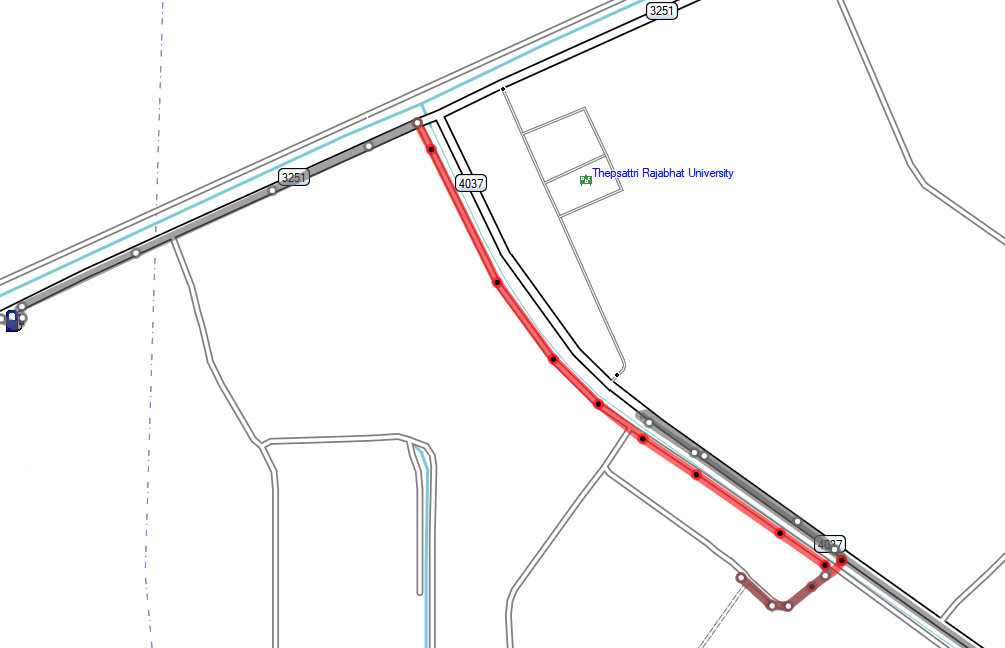
Further, Bing Maps clearly shows the road heading E as Rural Road 4012, so can mark it as such. I don’t think we can say for sure whether any of these roads are sealed or not without going to Google Maps, which we are not allowed to do.
Now, let’s move further N again, just past the crossing of roads 2256 & 2243:

What happened here? Clearly, either the main roads are in the wrong place, or the two minor ones. Switching to DGP it becomes clear:

The mapper has used the DGP image to draw these two minor roads and ignored the image offset. There is clearly a break in the image on the main road, half way to the junction with the minor road. But it doesn’t extend due W, it curves SW, missing the minor road. So which one is correct? We don’t have a source tag for Rd 2357, but the GPS traces and main roads line up better with the DGS images, so I think we should use them. Both these roads need to be moved, the junctions lined up and the T junction with road 2256 needs to be cleaned up. Then, of course, we need to continue along the main roads in all directions and rinse and repeat.
This isn’t rocket science, but it does require to engage eyes and brain. If an organisation wants to mass-edit, then there is a learning curve for all involved and some initial hand-holding and reviewing of edits.
Via a mapper’s profile I have found the wiki page for the FB project: https://wiki.openstreetmap.org/wiki/AI-Assisted_Road_Tracing
That reads all very well, but where is the community engagement? Where is the QA?
You have added 150,000 km of roads. Most of that will have to be corrected. Where do we find the manpower to do that?