I Agree, but this discussion should be held in other topics. To be on-topic, abandoned railways are only rendered in the generic map (default mkgmap style) as path:
The generic new style does not even render those lines, unless it is accompanied by highway=* (for instance when such line is converted into a cycleway or footway). Both maps do not render dismantled or historic.
My mistake if we are not talking about the same thing here.
The lines and bridge were rendered in openfietsmap lite, if it is the wrong place to discuss this here I am sorry.
I hope I mentioned that somewhere before, … I did not… ;( I just said the garmin map renders the line.
If they would have not been rendered I would have not been here Although over the years I have popped up in this topic just because I was curious if something new was happening.
I am happy to hear generic new style does not render them for I use those maps for driving . Personally I would say that also the generic style should not render the abandoned lines, but I am not affected by that and let the designers of the style make the decision.
[edit] oeps, Now I fell into my own trap … abandoned was still usable for navigation in my definition…
once again tricky business defining what to include and what not [/edit]
And just to make sure I am understood correctly.
**I love what you guys have done and are still doing, I am just trying to do my little part **
Not being able to adjust a map if you spot something wrong or question about a place is not something I enjoy.
So openstreetmaps with a garmin or an android with osmand is a really nice thing to have for the last 8 years now. Especially since I bought my oregon 300 and euro citynav map in 2007.
The drive was interesting in central america in 2009 with the garmin openstreetmaps. And the current level of detail is just amazing.
if I think something could be improved upon I mention it and sometimes it means I did not understand something correctly. I did start my post stating that I am not sure if this was a rendering or data issue.
And I did edit the data to reflect a “correcter” world view in the OSM data.
Here you can find the OFM style
Abandoned railways are rendered (not routable though) as well as bridge=* (only if it is accompanied by a highway=* or railway=* tag).
So, in the new situation with demolished:bridge=yes and railway=dismantled it will not be visible anymore.
Greetings. A big thank-you for these maps, I’ve been using them successfully for years.
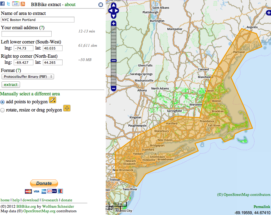
I would like to create a single Garmin img map made from tiles along a single 4000km route (for a race). I presume this is possible using all the tools in the OSM toolchain. I am worried that trying to do it myself would be too difficult and I would find out mid-race that I had done something wrong.
My question: is it possible to replicate the exact script used by garmin.openstreetmap.nl (same software versions, same command line options, same style files, etc.) while just changing the input tiles or “input polygon” or whatever the correct input format is?
I see no need to create the tiles on your own. When you enable “manual tile selecion” you can chose the tiles along your route and they are
combined to one map for you.
Well, I was hoping to squeeze the map onto my Edge 520 which only has about 50Mb available for maps. The only way to do this would be to make the tiles along the route only a few square kms each. The default tiles offered by garmin.openstreetmap.nl are far too big.
In that case you’ll have to generate your own map with http://www.mkgmap.org.uk/
It has a steep learning curve but it is possible to do this (well, 50 mb for 4000 km long route…I doubt if it will fit).
I hope I’m posting in the correct place. I’ve searched around the site and haven’t found my answer.
I have downloaded a file called openfietsmap_lite_gmappsupp.zip. When I try to unzip it, it creates a file called openfietsmap_lite_gmappsupp.zip.cpgz. If I attempt to unzip that file it creates a copy of openfietsmap_lite_gmappsupp.zip.
I’ve run it through JaVaWa. It does not show any problems but when I go to “Manage Maps” the maps are displayed but if I click on one a message is displayed “Out of Bounds Exception”.
I have also called Garmin support but they will not help me because the OSM map was not purchased from Garmin.
I’m about to leave on my trip. If anyone can help, please do.
Now I can see the UK map. I disabled basemap, then enabled basemap, disabled my UK map, enabled my UK map. It would seem I didn’t do anything other than flip disable/enamble switches but it did the trick.
garmin.openstreetmap.nl sends no email when requesting my own map
After creating my own map with http://garmin.openstreetmap.nl I get a new window with the message, that I will receive 2 mails with the links to the status an the download adress of the map. But now I did not receive any email, like in former times. Of course my account is correct and ready to receive emails.
Yes, of course. I’m not a beginner. I get my maps in this way since some years.
I tried it yesterday in the evening, today in the early morning and some minutes ago, I tried 2 browsers Firefox and Chromium (both on Ubuntu), and I tried 2 different emails on different domains. Just like all the times before.