Hello,
Thank you as always for your feedback. Happy New Year! I hope you’ve all had a lovely holiday season. Sorry for the delay in response we are just getting back into work mode ![]()
I’m sad to hear you are seeing issues. I hope you see we have been responsive to all requests and quickly make edits whenever anyone in the community asks. In some cases the requests often conflict each other so it not as easy to made these decisions. I understand your frustration on roads and routing especially having travelled through many rural areas in Africa, South America and Asia including Thailand! So let’s see how we can make this better. Our goals are the same of making OSM better and we are super grateful for your on the ground knowledge.
As far as quality and data integrity, while our roads are generated by AI our team edits each task 3 different times using the Tasking Manager to ensure various team members are editing consistently and at a high level of quality. We also use quality checks created at Facebook and open source ones such as JOSM, OSMCha, OSMOSE and Keep Right. Additionally our Quality Analysts continuously check live data.
There is quite a bit to digest from your e-mails so let me try to summarize so I can work with the team to make sure we can help solve this. The two main issues are.
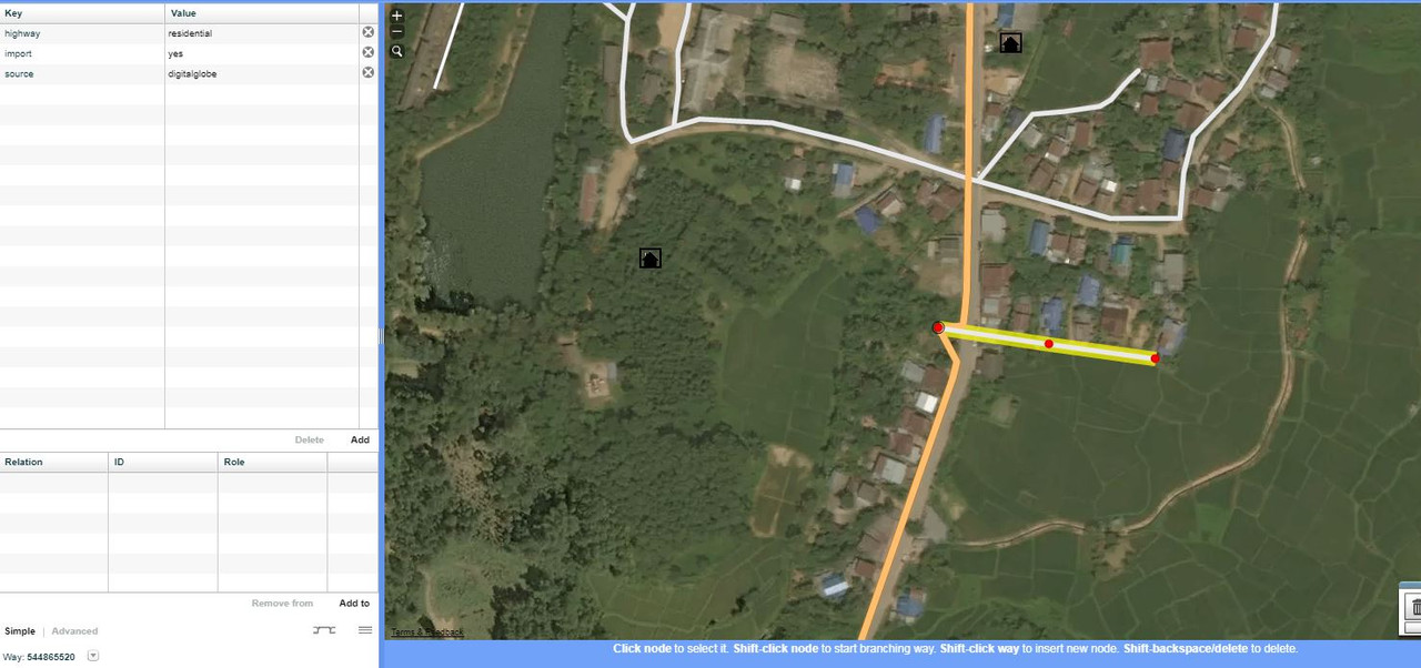
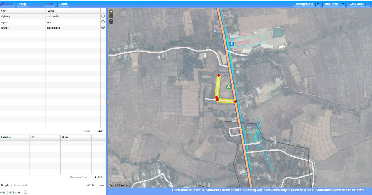
- Too Many nodes on straight roads - We are looking into this and will make changes accordingly.
-
Road Tagging - The tagging is all done by the editing team and not automated and we are cognizant of the limitations of remote mappers, so try to follow the best practices we’ve learned from the local community and OSM guidelines.
- Tracks - Earlier we were told by some community members not to use this tag, however some have found it useful. After studying local edits, we decided to keep a minimum amount of Tracks for roads that are mostly agricultural or forestry.
- Residential - In an effort to make sure we do not neglect homes, we chose to mark any roads which serve as an access to housing, without function of connecting settlements. Sometimes this mean we are making the decisions if we see 1-5 buildings on that road. I understand things change on the ground and maybe those building do no actually exist as we see in satellite imagery. In those cases we are super grateful you can re-tag the roads based on your knowledge. If you have a different suggestions to tackle these roads please do share and we will be happy to take that into account and make changes.
- Unclassified - As seen from most of the local mapping in Southern Thailand unclassified is used to link villages and hamlets. This is why we mark minor roads of a lower classification than tertiary, but are not used to access houses unclassified roads.
- Paved/Unpaved - As much as we would like to add this tag it is difficult to do so with high accuracy so as a remote mapper. As the local community if you have some group guidance on this it would be great for us to follow. We assume based on OSM guidelines that the use of the road is what determines the Highway tag and the quality is then set in this case as either paved or unpaved. Is this the same way you see roads?
The best part of OSM is the community working together to make the map better. If your rules for tagging are different from the way we are doing so please may you provide some examples (way IDs and how you would tag them differently) and so we can learn with you and make the map better especially with your local knowledge. I think reverting thousands of really good edits due to some tagging concerns would be a loss for OSM.
For holidays and weekends you can always also e-mail my team directly osm@fb.com as a faster way to reach us.
Best,
Drishtie