As a bit of background on the problems in Egypt (I did a bit of the analysis of what had been added but not the revert):
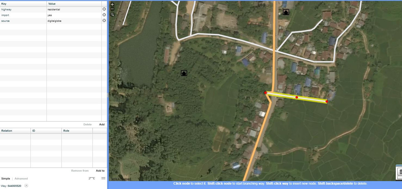
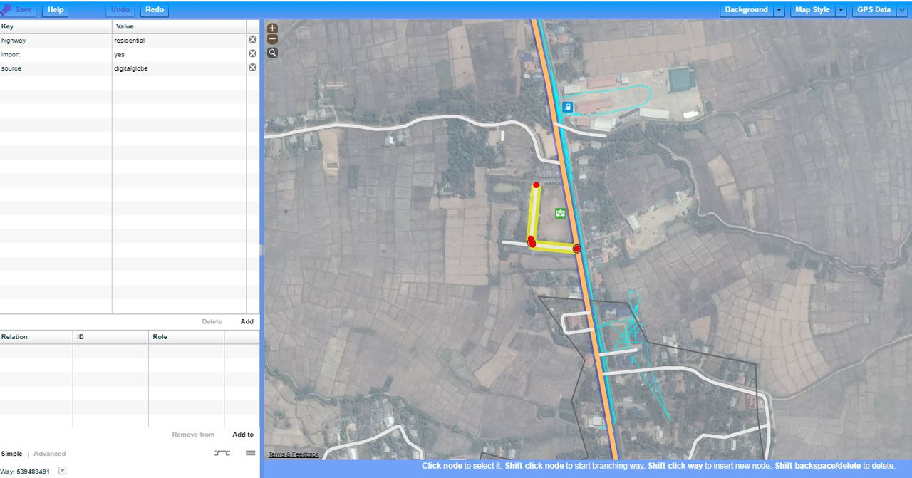
What seemed to happen there that any long straight feature with a colour differential was being interpreted as a “road”. The effect of this was that pipelines, canal banks, and (in residential areas) walls were being detected in error as roads. There was also the same sort of problem that you’re describing - everything was either “road” or “not a road”; there was no thought given to residential / track / tertiary / whatever. Where roads went through residential areas (for example a few houses around a dusty square) the roads were missed completely. Generally speaking, though, the Egypt additions were far worse than the worst of the Thailand ones (unless anyone knows any different).
With regard to Thailand, in this case I’d suggest the usual - if a mapper has done something in error, tell them about it, tell them what they’ve done wrong and tell them what they need to do it fix it. Obviously in the case of brand new mappers we need to be helpful and tolerant of people who are still learning, but these accounts have been around for nearly a year now and have made a significant number of edits.
At least 2 of the accounts who edited the ways mentioned earlier have been active within the last 24 hours, but no-one has tried to contact them via changeset discussion comment since October. I’d be surprised if they monitor this forum, so I wouldn’t assume that they are even aware of a problem.
What I’d also do is monitor current edits by the mappers in question and raise issues as soon as they appear. Obviously some things will only get picked up when you’re actually on the ground, but it’s often possible to say that something looks “unlikely” (e.g. road vs track) without a visit.
Best Regards,
Andy (from the Data Working Group)