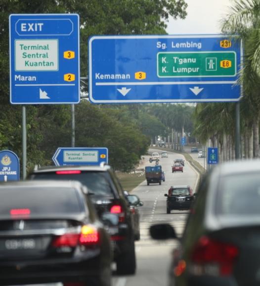
Which should be the correct practice. IMHO, suitable for the Federal Highway, MRR2, etc which have (grade-seperated) interchanges. If there are no exit numbers or exit names, the destination tag can be useful.
But for (at grade) intersections with traffic lights, I prefer to use name tag on traffic_signals unless there are reference numbers.
Mostly the case, when the note was added nearly two years ago, if I’m not mistaken. If I seen it, I’ll simply “resolve” the note. This happened twice in the northern peninsular (well, actually it’s the whole west coast)… no idea who did this because it was made anonymously. Quite frustrating actually.
Haha! That’s why the do-ocracy of OSM is to map whatever is on the ground. No reference numbers or exit names? Fine, there’s no need to include that. I have seen sometimes Waze contributors put up things (of course in Waze’s database) that are not really can be seen on the road… sometimes road names are really like… whatever. Some would follow what’s on the police’s database and the others may take what’s available from JKR.
I have seen it in Kelantan too (as of January 2015), exclusively on the federal routes 3, 4 and 8. Exit signs too, but not that much.
Road names however… ha, I’m not really sure about that. At least Kelantan, Terengganu and Pahang are getting those. Kedah (and Seberang Perai to an extent), however, nowhere to be seen. There’s only road signs being put up in the towns, by the local councils. Perlis, if I am not mistaken, its JKR put up road signs across the whole state!
Official road names has been put up, I have discussed with the legal mailing list, they say we couldn’t use this due to some legal implications. But I could try asking MAMPU if they would be just fine to be listed on the Contributors page on the Wiki. The license implicitly mention that (sort of like this) all third-party app using OSM data must attribute the government - if any piece of data from the portal is included in OSM. Bah!