Hello,
I had a look at tile67.
I opened the data in JOSM and moved the new data to a separate layer.
JOSM validator seems to be happy with it, so at least no obvious mistakes in the data.
The areas I have checked seems to have a proper geometry. As this likely depends on the underlying imagery it is up to your validators to spot bad geometry before importing the way into OSM. Here we obviously have easy to process imagery for your AI.
How certain are you regarding the positional accuracy of the imagery you are using?
For example around this coordinates:
7.139488943807362, 100.58336130581272
Google has Digital Globe 2017 imagery, which sounds like the image set you are using.
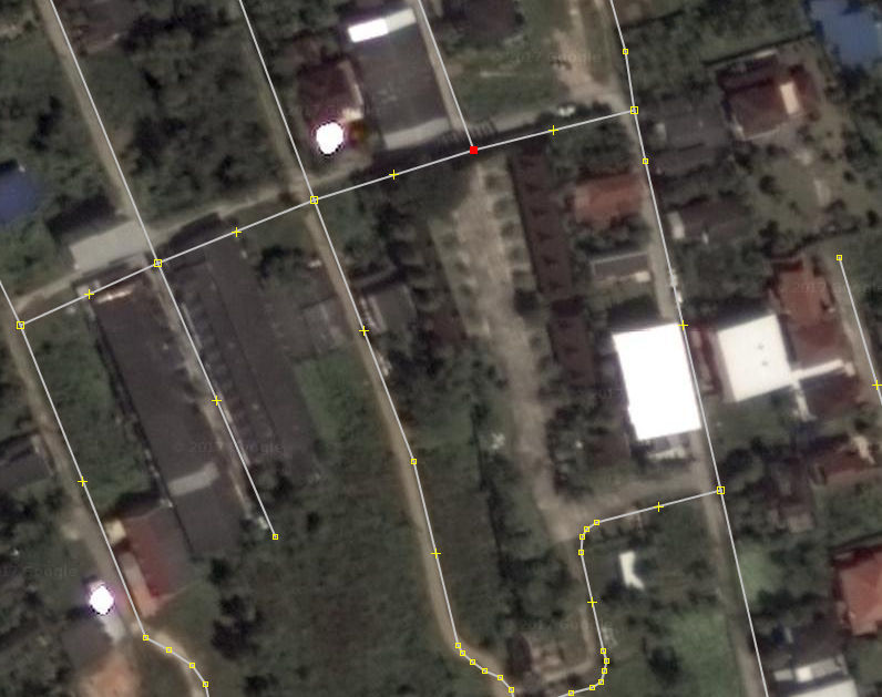
We can see that the road here is actually drawn south of the position. So was some offset applied to the position or do you have even another image set?
Bing Images quite agree with the digital globe imagery regarding the position of the roads. The north/south way on the very left is a bit off. This might result from differences in the orthorectification applied.
Bing imagery was taken March 2013.
Mapbox images of the same area show a significant offset of roughly 30m in an east/west direction.
The few existing GPS tracks in that area support the alignment of Bing/DG, but does your verification process includes a step to check for positional errors? You should add a verification step for each tile to ensure that the used imagery alignment is plausible.
Some of your highway=service roads could have additional tagging to clarify what kind of service road it is.
This one looks much like parking aisles:
7.136701699999995, 100.57025689999999
Also I am still not convinced how useful it is to have highway=track like these:
7.135251457220321, 100.58416959161377
I understand the “usefulness” is highly subjective, so waiting for feedback from Mishari as he said they want such ways for cycling.
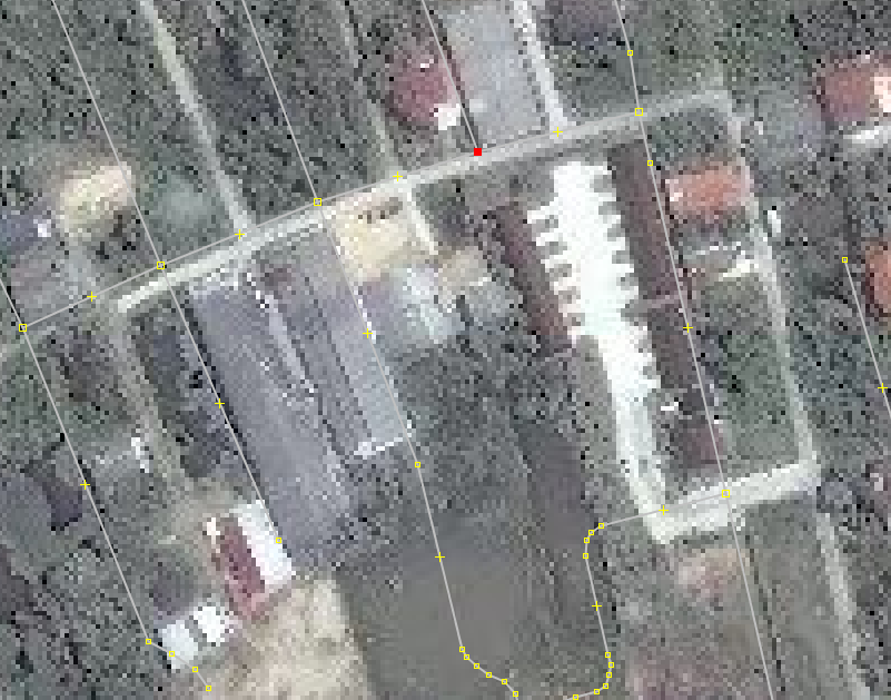
Here you classified a road as “unclassified”:
7.126803812150891, 100.59080393516885
I might have tagged this as a highway=service as it only serves as a way to reach the National Library and maybe another building in the woods.
This is probably a general corner case of tagging and not specific to your import. But we will just see a higher quantity of these.
Similar here:
7.140992100000004, 100.56433730000002
highway=service around something looking like dormitories.
What is the opinion of others on such corner cases? Would it make sense to leave a note in the area saying this is a corner case and needs local survey? This is what a typical mapper probably would do.
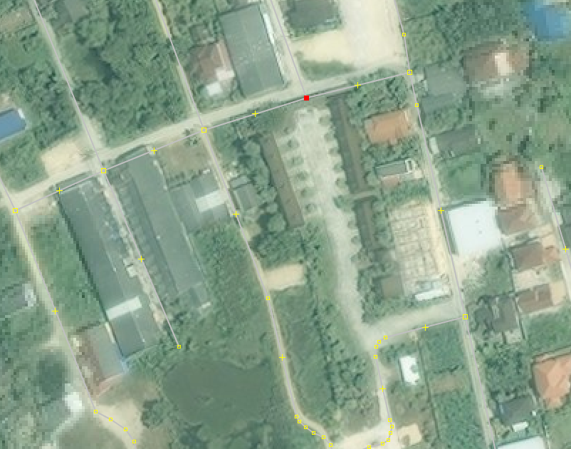
Here around the aqua culture I would have used highway=track. If clearly visible adding a surface=paved tag.
7.161198515500401, 100.58023471075015
Here it might be an unpaved residential road. With all those houses and driveways certainly not agricultural.
7.157252703938363, 100.55417505654358
This highway=unclassified does not really interconnect villages or neighborhoods. Could be a residential if it is a housing estate. Otherwise service.
7.147121221968039, 100.56183787951564
Positive thing: You did not connect roads from housing estates with outside roads where there is obviously is a wall and validator warns about a nearly connection.
7.152133193273847, 100.58583235354041
Why is there a new node at the end of a way Johnny created? That one is not connected to the road network:
7.1475017, 100.5727969
In the past you had added surface tags to ways. Your sample data does not contain any. Is it planned to do this in the future?
So a lot of points. Mostly of the “minor” category. Think these edits are as good or bad as the average remote mapper.
Regarding tagging: Do we want to have import=yes tagged on all those ways? You should certainly refer to a wiki page with details of your import in the changeset comment of the upload. This should also clearly explain why you are using an “disallowed” source of DigitalGlobe. Having that source tag seems to be justified as the geometry might differ to the imagery available to the general mappers and avoid confusion.
Stephan


