I’m not quitting OSM, I edited my last post.
Yep, Some people are not mapping, they care only about “names” and reverting everything to arabic.
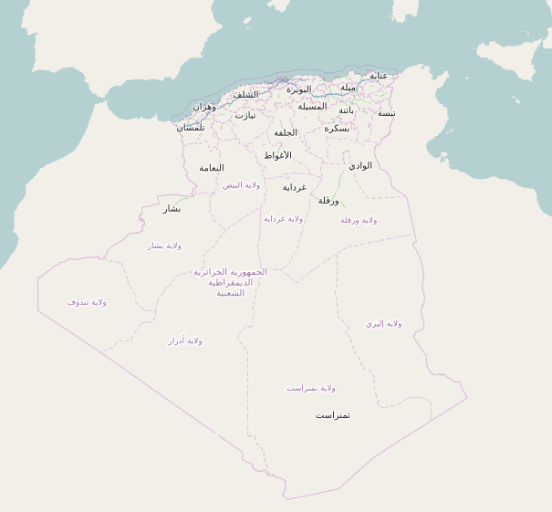
Please try to be a positive contributor. There are only 15 daily mappers in the Algerian map. “Only 15” !
Link : http://osmstats.neis-one.org/?item=countries&country=Algeria
If you carry on “War Edits”, I have to notify OSM to block temporarily edits in the algerian map.
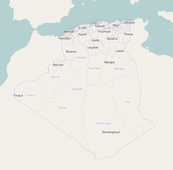
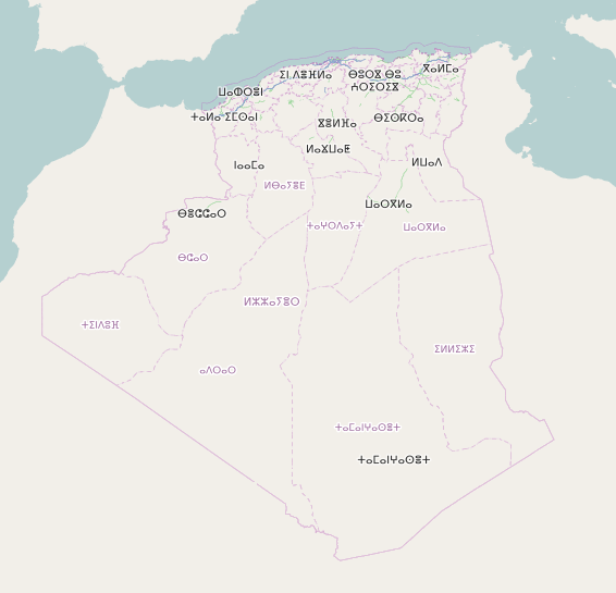
Abdeljalil, try don’t interfere with my contributions in Béjaïa. The wiki of OSM is not a “Coran”, the admin level of the communes should be admin_level=8 and not as it is “proposed” in the Wiki.
Have you ever tried to add a contribution to the Wiki … You did not ! I do ! And I read this table :
Link : http://wiki.openstreetmap.org/wiki/Tag:boundary%3Dadministrative#10_admin_level_values_for_specific_countries
And I opened a subject here : http://forum.openstreetmap.org/viewtopic.php?id=33844
Titled : “Organizing boundaries and admin_level tags for Algeria OSM Map.” and and had no comment from anyone.
Why you revert from admin_level 8 to 7 ? Just because it is “proposed” on the Wiki ? You’re wrong !
And “fuck” ! After all ! We should have fun on OSM and avoid “War Edits” ya zah !
En plus SomeOneElse ta3 zebbi zad lna had a sujet ta3 chkoupi bache y dir lna guira ya zah* !
Koul wahed y mapi el jiha elli ya3rafha … be el lougha Ech’koupistania wella Ezzetlania, el finiqiya … Mappiw les village w troq, w koul wahed w yetnak m3a la région ta3o sinon ma nakhlasouche men had a sujet.
Levacher 3andou el haq, wenta ya Abdeljalil 3andek el haq … Ma twelliwche les représentant du gouvernement en ligne. Mappiw b la façon elli ta3arfouha … tebqa el mouchkila hadi ta3 le tag “name” ta3 zebbi … ma trevertiw ma walou ! Pour le moment, on fait la paix … on contribue à dessiner les millions de kilomètres qui reste fi blad Ch’koupistène … quant au noms koul wahed yetnak.
Aya sahitou 3la el 3aqliya algérienne même sur OSM. Oui l’Algérie n’est pas arabe, oui l’Algérie est une création française … oui nous parlons tout les dialects berbère et l’administration utilise le français et l’arabe bien que le français n’est ni une langue nationale ni officielle … alors arrêtons de nous saper le moral avec un sujet débile comme celui là jusqu’à ce qu’une solution soit trouvée pour une carte multilingue et là chacun, comme un mouton se pliera aux règles du tag “name”.
Je vous souhaiterez quand même une bonne journée les gars ! Je vous remercie pour vos contributions passées et futures … alors continuons à mapper, les futures générations auront besoin de ce travail énorme que font “15 personnes” sur la carte ouverte d’Algérie.
Sahitou !