There’s probably more places, or even the entire map, using OSM data. If you know somewhere where OSM is
So far, I’ve emailed them at press@instagram.com and later at ip@instagram.com (intellectual property). From the former address, I did not receive any reply, and the latter replied with a standard email:
As far as I’m aware, there is no other way to contact Instagram officially. Maybe someone else knows a contact at Instagram or a better contact channel?
Instagram’s owned by Facebook isn’t it? I’ve no idea whether the products are developed together internally, but a FB person has posted at http://forum.openstreetmap.org/viewtopic.php?pid=593364#p593364 about updates in Thailand. They may only be able to refer you back to the channels you’ve already tried, but it might be worth asking.
I’d also ask where the data comes from rather than assuming it’s all OSM (the story might be a bit more complicated - often organisations use a mixture of providers).
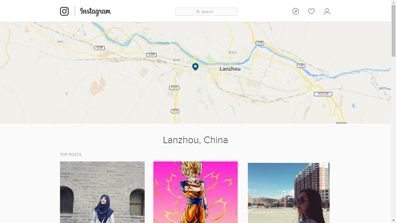
Looking at my area (Victoria, BC, Canada), neither the shapes, names, nor locations exactly match between the Instagram map and OSM data. Some parks have different names and shapes, bay names are shown where no OSM object exists with that name, etc. It doesn’t appear to me to be using OSM data at all, at least in my area.
Hey guys - just stumbled upon this post today. This looks like a bug and we’re working with the Instagram team to get this fixed in the next few hours.