Hi from croatia mappers!
The U.S. Geological Survey has made public maps of the whole Ex Yugoslavia under the Public Domain license, which means we can use them in the Openstreetmap project. Statement about the license on the following link:
http://www.lib.utexas.edu/maps/faq.html#3.html
List of maps in pdf format here:
https://www.lib.utexas.edu/maps/topo/former_yugoslavia/
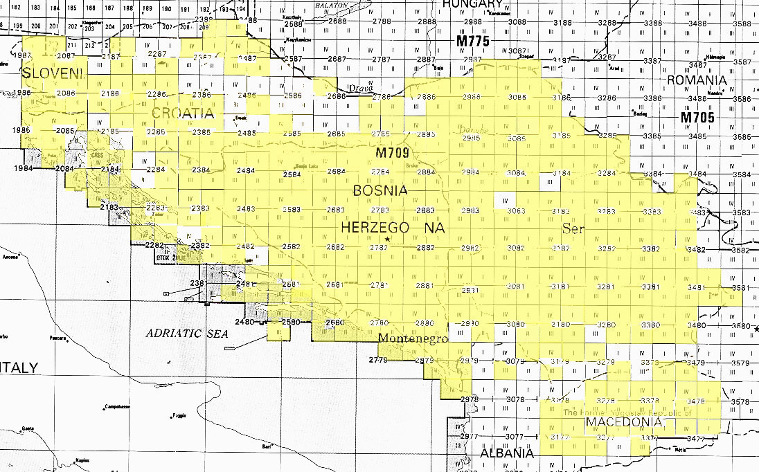
Unfortunately, not all maps are scanned, the yellow areas are available:
http://www.lib.utexas.edu/maps/topo/former_yugoslavia/index_map.jpg
Our member dodobas geocoded the maps and we put them on the server maintained by user hbogner on the Faculty of Geodesy in Zagreb.
We are inviting you to use the imagery to fill the Openstreetmap with as much usefull data possible!
I suggest you use the tag source=U.S. Defense Mapping Agency for the elements drawn over these backgrounds so we can easily find what is drawn with these maps.
How to use them?
In JOSM:
Go to Edit > Preferences… > WMS TMS > + (Plus sign lower right) > TMS
Menu name= USGS osm-hr
TMS URL =
http://tms.osm-hr.org/1.0.0/all_ustopo/{zoom}/{x}/{y}.png
Screenshot: http://osm-hr.org/josm.png
In Potlatch:
Go to Background > Edit…
Make a new line:
Name= USGS osm-hr
URL=
http://tms.osm-hr.org/1.0.0/all_ustopo/$z/$x/$y.png
Screenshot: http://osm-hr.org/potlach.jpg
If there are any problems, contact us!
P.S. Watch out for bad data that is going to be erased because of the license change on April 1. More about that on the page about Remapping:
http://wiki.openstreetmap.org/wiki/Remapping
Link to croatian version of this post: http://forum.openstreetmap.org/viewtopic.php?pid=214544