This upper guidelines are not the one belonging to Openstreetmap Israel, but I agree that we don’t use all possibilities we have to reconsider the definitions we made in the past.
Currently there is no trunk defined, so of course we are missing it on some kind of level.
I know that that wikipedia (http://en.wikipedia.org/wiki/List_of_highways_in_Israel) is only showing a list of primary roads in Israel.
But based on what I see we could get a better and more detailed road definition than we have today in Israel.
My Suggestion:
#####################
![]() MOTORWAY - all freeways (example on http://en.wikipedia.org/wiki/List_of_highways_in_Israel with blue sign on the left)
MOTORWAY - all freeways (example on http://en.wikipedia.org/wiki/List_of_highways_in_Israel with blue sign on the left)
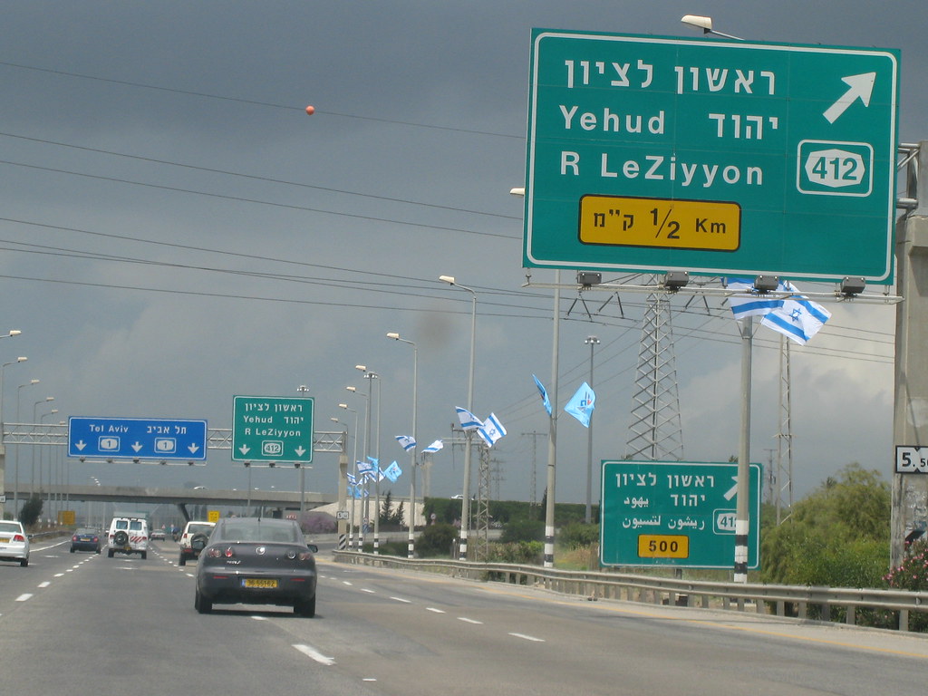
National roads and Inter-City roads. Can have 1 / 2 or even 3 digits ref. (Example Highway 1, 4 or 431 (431 is a exception!)
![]() TRUNK - all expressways (example on http://en.wikipedia.org/wiki/List_of_highways_in_Israel with red sign on the left).
TRUNK - all expressways (example on http://en.wikipedia.org/wiki/List_of_highways_in_Israel with red sign on the left).
Can have 1, 2 or 3 digits ref.
![]() PRIMARY - Regional roads - numbered with three digits (e.g. Route 471)
PRIMARY - Regional roads - numbered with three digits (e.g. Route 471)
SECONDARY - striped w/ 1 lane each way, infrequent if any stop signs and. Beside that all routes with 4 digits.
(If you think that a specific road should be secondary because of what ever reason you are welcome to change it)
TERTIARY/ TERTIARY ( - other main route or road inside of the city / village etc.
(If you think that a specific road should be secondary because of what ever reason you are welcome to change it)
#####################
LEGEND:
The image with the number and the colors on the left are shown on streets signs within Israel. The colors are also shown in all Wikipedia articels.
The coloring of the Names : MOTORWAY / TRUNK / PRIMARY is the default color in Openstreetmap (Potlach etc.).
#####################
What do you think?
Check out this picture in Wikipedia showing the Nesharim Interchange with all road types in one intersection:
http://en.wikipedia.org/wiki/File:ILjunction-nesharim.png
and Openstreetmap in compare:
http://www.openstreetmap.org/?lat=31.90998&lon=34.89606&zoom=16&layers=M


.jpg)


 => MOTORWAY
 => TRUNK
 => PRIMARY
 => SECONDARY