My first time here.
Can I use data from here to map bike trails in Yaar-HaMeginim?
Yes, but that will be like giving him a fish.
If you want to teach him how to catch a fish and cook the fish and have lunch every day,
then it would be best to contact that user, and ask him to upload their gps tracks to OSM as well.
(Best would be if he could also edit them, and he would know best which part is a track, and which is a path)
I know him, and there’s a good chance he would agree, especially if you would tell him about the velik map that is updated on a daily basis.
His contact details are easy to find. Just follow the links to his gpsies user, then twitter, then blog, and from there you can send him a private message in Tapuz… ![]()
talkat.
You are mistaking me for a devoted OSM freak which I am not. In fact I don’t own a GPS and have never even uploaded a track or edited a map.
So I’m not the devoted evangelist you’re looking for. If you know the guy, you’re in a better position to do it than I am. He posted many tracks to GPSies.
Beyond the question of that particular MTB+GPS user which I’m supposed to track down, is it OK, license-wise, to upload peoples tracks from GPSies without their permission?
Thanks
I’m sorry, I fail to see your reasoning.
You only want one fish?
Don’t you want to have a good fish (one that gets better every day with new tracks uploaded) every day?
talkat.
Don’t get me wrong, I’d love to have the whole fishery.
I’m just saying that as someone who’s just heard about OSM last week and never uploaded anything it would be pathetic if I try to evangelize.
Actually, if you really want to get loads of MTB tracks uploaded you should try promoting cycleOSM on the groopy and tapuz forums. Loads of tracks there. You could show them how to upload to Garmin/android phones/Iphone, something I never attempted.
Ok, I see what you mean.
How about approaching him and asking whether you could use the track he uploaded to gpsies.
Just tell him that you want to upload it onto OpenStreetMap (the whole name, he might not know “OSM”…)
If he “bites” and asks any questions, refer him to the main web site, and here. ![]()
talkat.
OK, I’ll do that.
Found him on facebook.
Thx
It’s the same as his gpsies username. ![]()
As for that specific gps track of his:
It has singles, but not the doubles in the area, and these doubles are not yet in OSM.
So following this particular track will be like navigating in the dark, without orientation of the doubles.
talkat.
Thanks,
As you suggested, he responded favorably.
The doubles are visible from the Satellite images - is that considered good enough? I know the area well and can annotate it (if that is what it’s called). I also have the Shvilnet paper map as a reference.
I’m not aware of the legal aspects, though. I imagine you could consult a map but not trace it, right?
Otherwise I can go there and map it myself when that becomes an option.
Cheers.
Would he start uploading his gps tracks to OSM as well?
If you can see the doubles from the yahoo images (something like 15m/pixel) then it’s good enough.
Otherwise, they need to be traced somehow.
Using Shvilnet when you edit OSM is a no-no.
However, if you were riding the area using Shvilnet many times, to a degree that you know he area by heart, then it’s ok (to use your knowledge that started from Shvilnet a long time ago…)
Getting a gps track of a way is best, but in the meantime you can do some “artistic sketch” and add a fixme tag.
talkat.
I see.
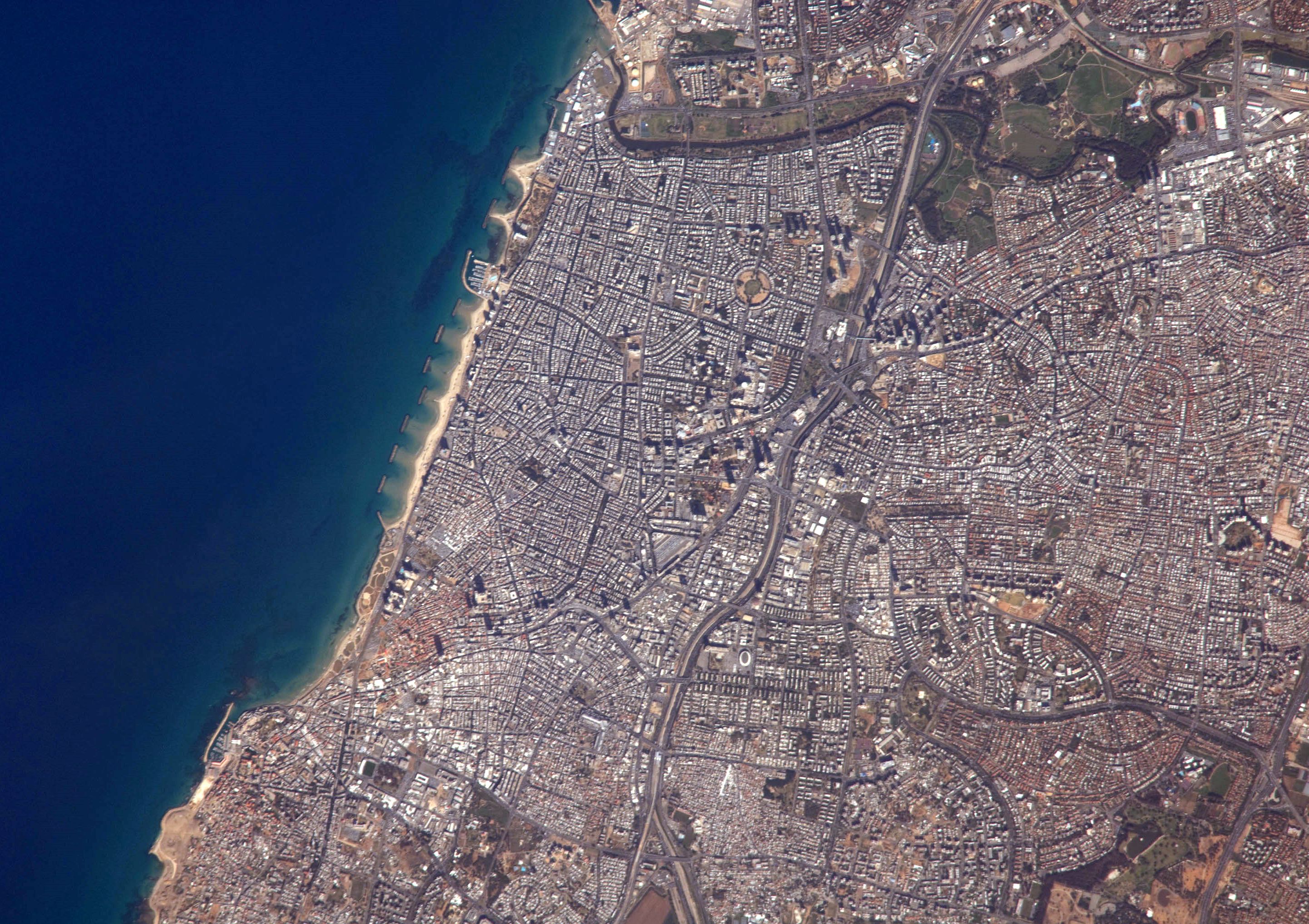
If I have a free satellite image of an area, at higher resolution than these lousy Yahoo images, say like this one from NASA:
http://upload.wikimedia.org/wikipedia/commons/a/a2/Tel_Aviv_from_space.JPG
Is there an OSM editor in which I can paste and align it to trace the double tracks?
Thanks
How about using Google satellite Imagery in Josm. Is that possible?
If the image’s license allows you to do that, you can use either the PicLayer or WMSPlugin plugins.
talkat.
The google license forbids such usage of their satellite imagery.
talkat.
The NASA data is of course absolutely free (product of the US Federal Government) and would allow all derivate usage.
It would require more elaborate alignment though, because it’s not an orthophoto.
I suppose if some criminal used the Google satellite data (not the maps) and traced it, there would be no way to prove it.
OK,
Our friend from GPSies now submits all his past tracks to OSM.
see his posts here
This is easily done from the GPSies site with a dedicated button (I guess they feel indebted because they use Cycle-OSM as one of their maps).
Perhaps you could contact him about notation and editing as I am clueless.
That’s cool! ![]()
I didn’t know it can be done from gpsies. I guess that would make things eaier for gpsies users.
I don’t know him personally, just know of him.
He has a blog that lists various trips, and he’s an active Tapuz member.
Hopefully, he’ll “bite” and edit as well.
But uploading the tracks is a very good start, as it adds to how good we can trace ways.
talkat.
I have to say that this is a good start. As a beginner in the OSM world I found it difficult (And still am) to trace new paths.
OSM would have expanded many folds faster if it aimed its tools at the unprofessional crowd.
Let’s admit it, tracing with either Josm of Potlatch still takes a learning curve and effort that 99% of the population don’t want to invest in.
If there was only a “dummies tool” for the most basic tracing (Draw a line choose which type and nothing else).
As a Custom Garmin Map maintainer I still find that it takes me time to adjust to the new OSM world. (Although, it’s worth it)
I’m happy to know that you’ve taken the OSM wagon, and hopefully the person mentioned above too.
Vladimir is also here, and hopefully through Velik we’ll have more.
As I wrote above, uploading traces is the best start, as it helps the map in many ways (pun not intended ![]() )
)
When tracing ways in an editor, it’s always better to trace in the middle of several gps tracks, and not just one.
Also, there are “angels” who hunt for unmapped gps tracks, and trace them in an editor.
As for the editing tools - As you said, there’s a steep learning curve, but it’s worth it.
I don’t find Potlatch too hard to begin with.
If you remember the basic internet rule of “try to copy other’s work, invent only when there’s nothing else (and from that standards follow)” then you can be up to speed in no time.
I believe that OSM has passed the “just draw a line” stage.
Today the tools that create the GPS maps support routing, so the roads should intersect.
Tagging should follow the standard, or they won’t show on the map.
There are tools for dummies, and they are discussed in other threads.
usually, you have the map on your mobile phone, and you can add to OSM while roaming around.
talkat.
Since posting from GPSies is so easy, we can go over all the heavy Israeli MTB posters there and solicit them to post their entries to OSM.
There are 2300 tracks in Israel in GPsies, the great majority of which are MTB tracks.
Better still would be if we can ask the developer of the GPSies site to mass-petition his users asking them to submit, he seems to be supportive of the OSM cause.
Do you know of automated tools that can Use all this data?