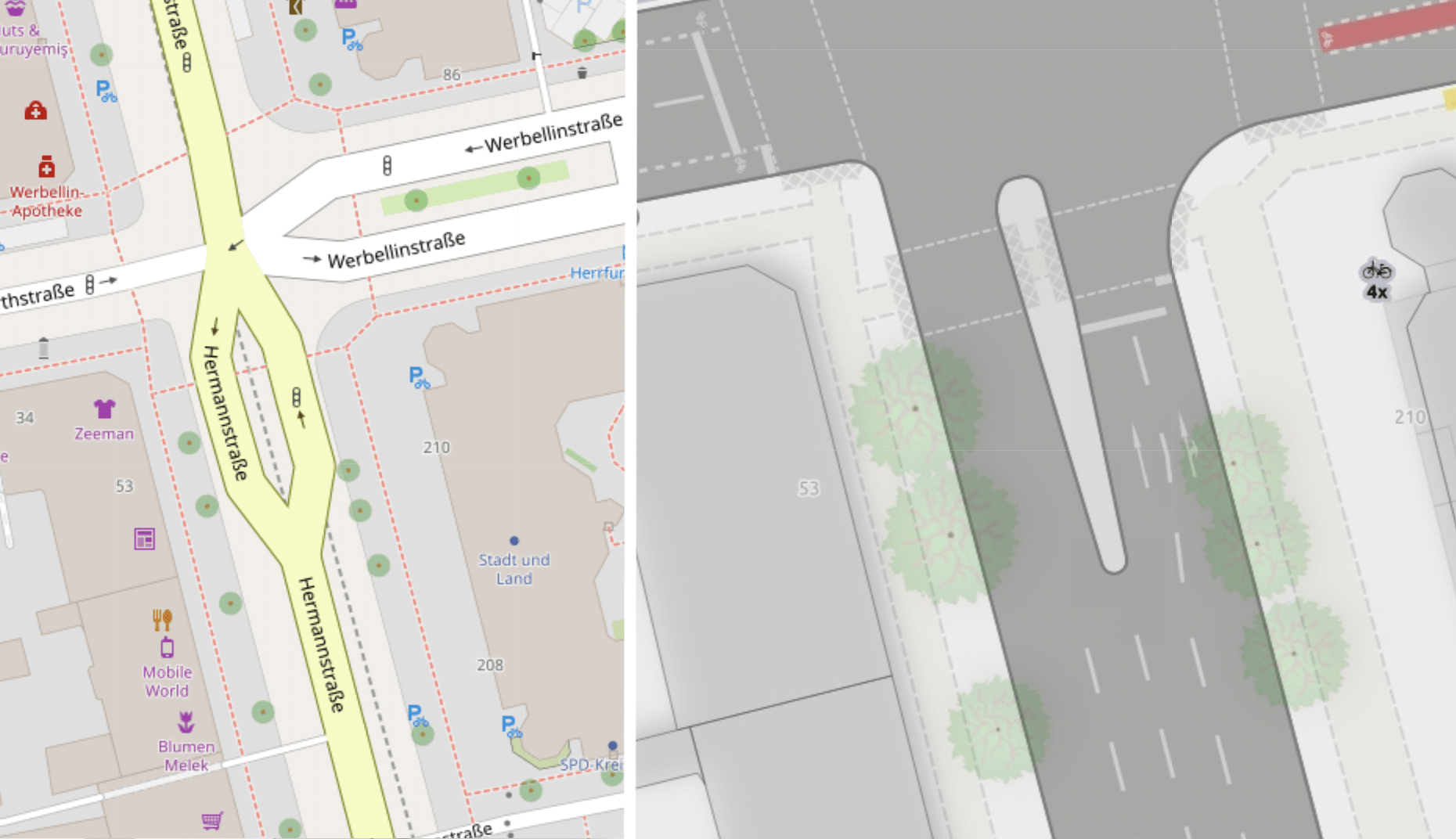
You might be interested in an experimental project Straßenraumkarte Neukölln, which tries to render urban environment and street lane infrastructure, I put some basic informations about it on the wiki:
https://wiki.openstreetmap.org/wiki/Micromapping#Stra.C3.9Fenraumkarte_Neuk.C3.B6lln
Here is the difference in rendering between this project and plain OSM Carto: