O.k. my fellow Mountainbikers, Hikers and Cyclists.
The Openmtbmap.org as of today got a new routing that simply kicks ass. I implemented about 100 additional lines into my main lines stylefile (now 500 lines longs - I will write a spreadsheet for future changes as the rules get really complex by now. Only for highway=track there are about 50 lines to check for most common things like routes, access restrictions, mtb:scale, mtb:scale:uphill and tracktype.
So to get to the point. If you activate “avoid toll roads” on your GPS or in Mapsource you get pristine bicycle routing respecting all laws (if the access rights are set correctly), not using footways, bridleways except if they are part of a bicycle route or have bicycle=yes or bicycle=designated added. Oneway streets (except primary, secondary, tertiary) will also be routed against their direction ( I hope that mkgmap coders find out about how we can set the unpaved and the carpool option - then oneway streets will get their own switch to be respected).
If you deactivate the toll roads option your GPS is ready for Mountainbike and Hiking action. No access rights are respected anymore, gnarly trails will be chosen and if the area youÂ’re in has good OSM coverage and mountainbike routes then just follow the autorouting and you should be guided to the nicest places on your way.
Also the maps got a new stylefile for better readability (forest is very light green now) and I added many more POI into their correct category. Some search example that can come very handy: search for a citybike? Simply search for the Auto Services –> Auto Rental and all bike rentals will be listed to you and you can use your GPS to let you guide to the next citybike. I’ve been really saved many hours by using that search (kudos to Norbert, or was it Andreas? to import the Viennese Citybikes into OSM). Search for your next bike dealer? Just search for Auto Services –> Auto Repair and not only all car repairs (they can often help us out too) but also all bike dealers are listed. Remember — behave with openmtbmap.org as a ciclyst just like a cardriver. I coded it so that the maps works perfect in car/motorcycle setting. You may try setting bicycle as transport mean and report back here or in the forums if the routing is still sensible or not. I think not.
Oh and for those of you that were sometimes routed on highway=motorway or highway=trunk - thatÂ’s sorted now. I really kicked out the routing information now. There was a small bug that made them routable in some rare cases. ThatÂ’s solved!
This applies to all maps uploaded from 10.05 onwards. I will regenerate all maps tonight so you can enjoy the big changes! Switzerland is already online!
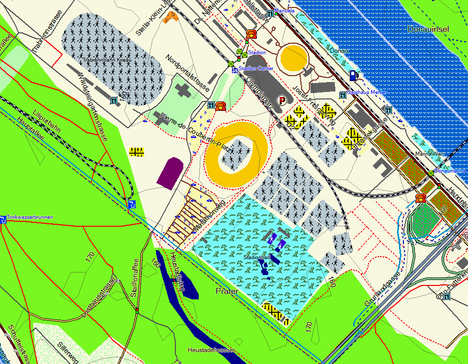
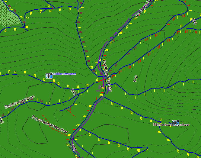
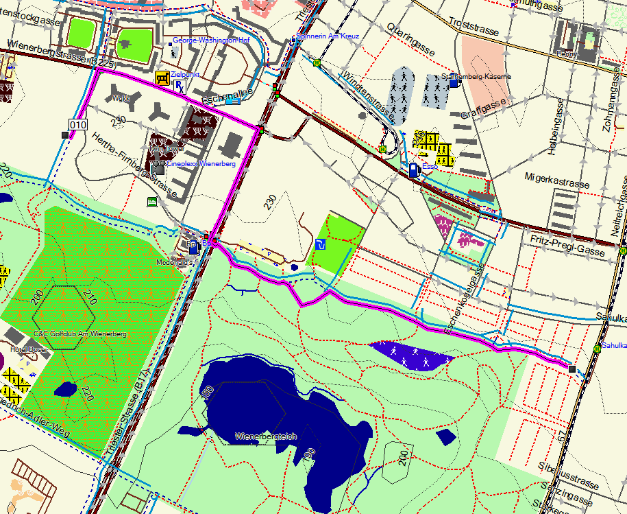
Some sample Screenshots (old Design before 10.05 updates):