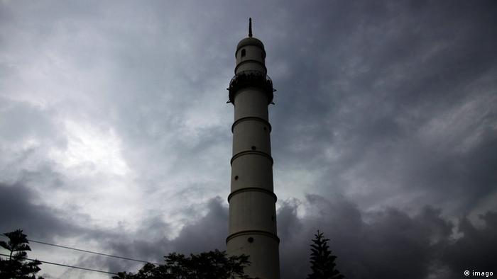
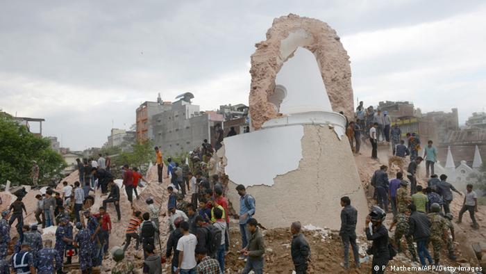
Map of Nepal before and after earthquake:
http://mapgive.state.gov/projects/nepal/
Bill Gates likes OSM ![]()
This area: http://www.openstreetmap.org/edit?editor=potlatch2#map=16/27.7935/83.4745
and around this area:
There is no buildings.
А что это?
Эти деревни. Cпасибо iWowik.
Опять стряслось, магнитуда 7.3
http://ria.ru/world/20150512/1063995528.html
Вот тут: http://earthquake.usgs.gov/earthquakes/eventpage/us20002ejl#general_summary
We have in this epicentrum area also missing information in the map, especially forests.
До
После
Here : http://tasks.hotosm.org/project/1046#task/603
are areas still open. Validation / controll is neccessary.
Maybe some of you can help here?
Best regards,
Marek
I´m tired ater long mapping; coud somebody of you draw the forest here: http://www.openstreetmap.org/#map=16/27.6893/86.1348
Also area river and sand along the river as natural=scree
Thank you!
Marek
Thank you all!!! This statistic for Russian help in Nepal is impressiv: https://twitter.com/AhmedLoaiAli/status/599206255387893760
This area is very poor mapped:
http://www.openstreetmap.org/#map=13/26.9388/87.3368
Regards,
Marek
There are four new HOT tasks for Nepal:
http://tasks.hotosm.org/project/1070
http://tasks.hotosm.org/project/1071
http://tasks.hotosm.org/project/1072
http://tasks.hotosm.org/project/1073
Could you help?
With regards,
Marek
This is the message from Kathmandu Living Labs:
Hi all,
Due to the rain yesterday there was a massive landslide that swept away an entire Village in Myagdi district. This landslide has created an artificial dam which is already risen to 150 meters and is already 1 km long. A village upstream have been completely submerged.
There is a huge risk that this dam might burst as we are still having heavy rain and also the aftershocks of the earthquake.
I have created four tasks in the tasking manager and have defined priority areas along the river.
Here are the tasks
http://tasks.hotosm.org/project/1070
http://tasks.hotosm.org/project/1071
http://tasks.hotosm.org/project/1072
http://tasks.hotosm.org/project/1073
Thank you all for helping out.
Regards
Nirab
New, short information from KLL: https://wiki.openstreetmap.org/wiki/Nepal/Table_of_distances
Also: take a look, how exactlz Google Maps in Nepal is. Especially in areas where OSM very detailed is.
An this, without thousands of helpers around the world…
Great thank you from Kathmandu Living Labs for all helpers:
Here: http://www.openstreetmap.org/#map=14/27.7350/83.4154 is the forest missing.
Maybe one of you can help?

