
I dont see the problem here. These “Unknown” places are clearly visible in Mapsource and searchable too.
On the osm.org map they are not rendered: http://www.openstreetmap.org/node/2517350608#map=13/16.0989/103.4597
I dont see the problem here. These “Unknown” places are clearly visible in Mapsource and searchable too.
On the osm.org map they are not rendered: http://www.openstreetmap.org/node/2517350608#map=13/16.0989/103.4597
OK, then this is not a problem of missing points but a poor visibility. The simplest solution would be to add visible icon for this object. You can do it without recompilation, simply edit TYP file. Or add TYP file if missing.
The OSM generic map uses the mkgmap default style. In the points file only place=village without name=* is rendered with garmin type 0x0900 (which is very small I guess)
https://github.com/openstreetmap/mkgmap/blob/master/resources/styles/default/points
place=village & cityxx!=yes {set cityxx=yes} [0x0900 resolution 22 continue with_actions]
Place = city or town without a name isnt rendered at all.
If you download the generic new style all places without names are rendered with the same symbol as other places:
http://code.google.com/p/mkgmap-style-sheets/source/browse/trunk/styles/world/points
place=city [0x0400 resolution 16]
place=town [0x0800 resolution 18]
place=village [0x0800 resolution 22]
place=suburb [0x0a00 resolution 22]
place=hamlet [0x0b00 resolution 24]
The screenshot that I posted above is the generic new style.
Yes, that is correct. And thanks for your help on this.
But your answer presents another problem. Editing the TYP file is beyond my ability presently and I suspect the same is true for others of us working in north Thailand. I have downloaded several TYP file editors (TYPWiz, TYPchanger) over the past couple of weeks and I must say I’m totally confused as to how to either create a new “style” or modify an existing one.
There are countless documents on the OSM and related sites that try to explain the methods one might use to create their own styles, icons, TYP files etc. but I have found nothing that explains the entire process of creating a routable OSM map from start to finish. At least nothing I can understand. It’s not as though I’m a complete newbie to computers or technology — I worked as a computer programmer years ago and am fairly comfortable with database concepts.
But trying to understand the relationships of the various files, style sheets found on mkmap or github, TYP files, the OSM’s rendering of objects compared to Garmin’s, JOSM’s rendering of those same objects (which is different again from OSM’s slippy map), is confusing to say the least.
By the way, those empty nodes display very well in JOSM. The icon looks like a house and is surrounded by a black border — very easy to see even without any name text.
So, to get back to the business at hand, just exactly what should one do with the style sheet you show us in those links? I can read it, and understand what it’s saying more or less, but after that what should I do with it? How does it fit into the overall solution to this problem?
For editing TYP file I prefer TYPViewr: https://sites.google.com/site/sherco40/
Typ file is specific to Garmin maps, it defines graphics for a map.
Style file presented by ligfietser is a description for mkgmap, which defines how OSM data should be converted to Garmin map. It is not about look (graphics) but about content (objects) of output map.
You might find this thread interesting: http://forum.openstreetmap.org/viewtopic.php?id=21779
If it is only a matter of changing the appearance of a certain poi you can stick with the typ file editor.
If you want to render pois that aren’t rendered (like in the general ‘old style’ ) you can compile your own map with mkgmap and adapt the style sheets or change it in the default mkgmap style: http://www.mail-archive.com/mkgmap-dev@lists.mkgmap.org.uk/info.html
I have learned map making from this excellent tutorial: http://www.cferrero.net/maps/maps_index.html
It is a little out of date but the basics are still valid. More information about the styles can you find in the mkgmap manual: http://www.mkgmap.org.uk/doc/pdf/style-manual.pdf
I posted a request on the mkgmap-dev list:
http://gis.19327.n5.nabble.com/places-without-a-name-not-rendered-td5794524.html
Thanks, I really appreciate the help here.
Apparently the maps can crash on some devices if a city poi doesnt have a name, so that was the reason why they were deleted from the map. We can assign them with a different code though.
For mappers who look for unnamed places, I would recommend to use the overpass turbo tool: http://overpass-turbo.eu/s/2hG
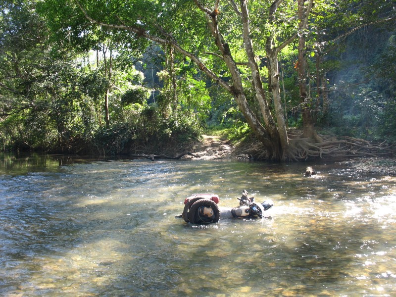
Can we have unpaved roads shown as such? There are many such “roads” that often are nothing more than tracks pushed into the dirt. Check out road 4044 here in Thailand: http://www.openstreetmap.org/way/129148172 Here are some pictures of this: http://www.captainslash.com/chiang-rai-a-loop-through-the-mountains-on-dirt-and-paved/
This shows on the Garmin map as a normal unclassified road. This misleads people into thinking that there is a normal road. Clearly, depending on the vehicle used and the season you can get into trouble here. (Think bike, think monsoon.)
I have tried experimenting with the mkgmap settings, but nothing worked and I can’t figure out how to debug the config files.
Thanks,
Peter.
I think those roads should be tagged on OSM as highway=track, but then you cant see the difference between a major unpaved road and smaller less important ones, esp. in less developed countries. You can use “avoid unpaved” to avoid them in your GPS settings.
In the mkgmap line style you can render unclassified roads (and other types) as tracks:
(highway=unclassified | highway=service) & mkgmap:unpaved=1 {set highway=track}
Thanks for that. I think it should be something like this:
(highway=* & mkgmap:unpaved …
Not sure where the mkgmap: comes from. I think we need a test for the existance of the surface tag and anything that is not sealed, paved, asphalt, concrete, … needs to be set to unpaved. I think this is important and the 4044 is a very good example why. The Eastern half is a nice two lane highway and in the middle of nowhere it turns into a goat track. The road number tag was obviously copied from either an online map or the “official” Garmin map, as I bet there are no markers once you enter the dirt section.
Now imagine you have planned a trip on this road. 25 km out of Chiang Rai you hit the dirt. A few km further and you wonder how long this will continue. At which point do you give up and go for the 70 km backtrack and detour? Me, probably once I have picked up my bike for the third time out of the mud. I had to stay overnight in a remote village once, because of a similar mistake.
I used to tag all dirt roads as tracks, but that inevitably gets changed by people who know better. “Don’t tag for the renderer.”
Can we incorporate this into the “new style”, please?
Are you sure to set all highways with unpaved into tracks?
What if it is major primary that is unpaved?
In the new style we use a TYP file so we can think of an overlay or bitmap pattern next or on top of the road to indicate it has an unpaved surface.
Something like that we do with bridges. What do you think of that?
That would be a solution, except that route avoidance for unpaved roads will not work with that. Personally, I want to know when a road is unpaved. This is more important to me than knowing where in the road network a road ranks or what number it has.
What we do in the NZOpenGPSMap: we raise the zoom level of a dirt road that is important, so it stays visible as you zoom out. I don’t know whether that would be achievable in mkgmap. Also, we could colour a dirt highway, could we not?
When I travel in Thailand I feel that I can’t trust the OSM map. Where it shows a road there could be a dirt track and in the rainy season I would not want to travel over too much of that. Otherwise, this happens:

or this:
Route avoidance still works with overlays which are non routable. I use it for bicycle routes, direction arrows bridges tunnels etc and this works well.
We can’t colour dirt roads if we still render it as unclassified, tertiary etc. It is very hard and unpredictable to render another bitmap on top of a vector line.
That would be very hard unless I completely modify all lines in the typ file specifically (which I dont like to do because this means a lot of work).
An extra overlay line for unpaved roads is quite easy to implement, I’ll post a test map later.
I have put a dashed line on one side of the unpaved unclassified (tertiary/secondary etc) roads, see picture.
You can download the test gmapsupp.img here: https://www.dropbox.com/sh/sfccpx8k1cs52w7/XGbTcJncrO

Thank you very much for doing that. It looks good on the GPS and in MS. The dotted line starts to disappear when zooming in past 500m, but I think we can live with that. I can’t test routing, as in this particular sample there are no sealed alternative routes to the dirt ones. I have to take your workd for it that if I select ‘avoid unpaved’ that I will be sent the long way round.
If you are confident that this works, can you iintegrate it into the style, please?
Kind regards,
Peter.
Changes are committed.
Unfortunately the dotted line and other custom lines from the typ file do not scale like the Garmin lines. Mkgmap is only capable of rendering a few zoom levels and Garmin seems to have more.
This can be improved a little by adding a few more dotted lines for each mkgmap zoom level and for every road type but first see how this works out.
Cool, thanks very much. Can’t wait to test this. This has been bugging me for years.
Cheers,
Peter.
You’re welcome Peter. Should have asked it earlier then, it was a quite simple solution ![]()
BTW routing in Basecamp and the newer GPS devices with active routing has improved a lot since the release of mkgmap-r3111.
I hope Lambertus can use this version (or later) for the next update.
Also please use --link-pois-to-ways to take bollards and barriers into account (in earlier mkgmap versions this was very buggy but this seems to be solved too)