MdMax
September 16, 2011, 12:28pm
1
Hello !
OpenStreetMap roads have already been used for years in flight simulation software like X-Plane thanks to tools like XPOSM or FlightGear (see the Wiki link here ).
Now there’s also a nice tool for converting forests and buildings from OpenStreetMap, and that makes virtual VFR flying a lot more interesting !
That’s a view of Montigny-lès-Metz in France in X-Plane .
The software for building this scenery is called OSM2XP and it’s available here:http://osm2xp.com/
_i
September 17, 2011, 12:05pm
2
Thanks for the hints, a good point to add such news is here: http://wiki.openstreetmap.org/wiki/3D_Development
MdMax
October 2, 2011, 6:25pm
3
Hello,
I’ve been working with Fly! Legacy (open source flight simulator) team to add openStreetMap data into their sim.http://www.flickr.com/photos/flysimvol/show/
I’ll now look at flightGear support for osm2xp.
Ben
efa
July 9, 2012, 1:58pm
5
wow, my vote for FG support
MdMax
August 26, 2012, 6:23pm
6
Hello !
OSM2XP is now an open-source project (GPLv3) and it’s available here:http://code.google.com/p/osm2xp/
If you want to vote for FlightGear support, just do it here: http://code.google.com/p/osm2xp/issues/list (Issue 3)
More pictures are available here (X-Plane 10 + OSM2XP).
Best regards.
MdMax
June 9, 2013, 6:55am
7
Hi all !
A great presentation has been made by the author of OSM2XP at the State of the Map US San Fransisco 2013 . You can find the slides here:http://www.youtube.com/watch?v=t4Tij0QLWpQ
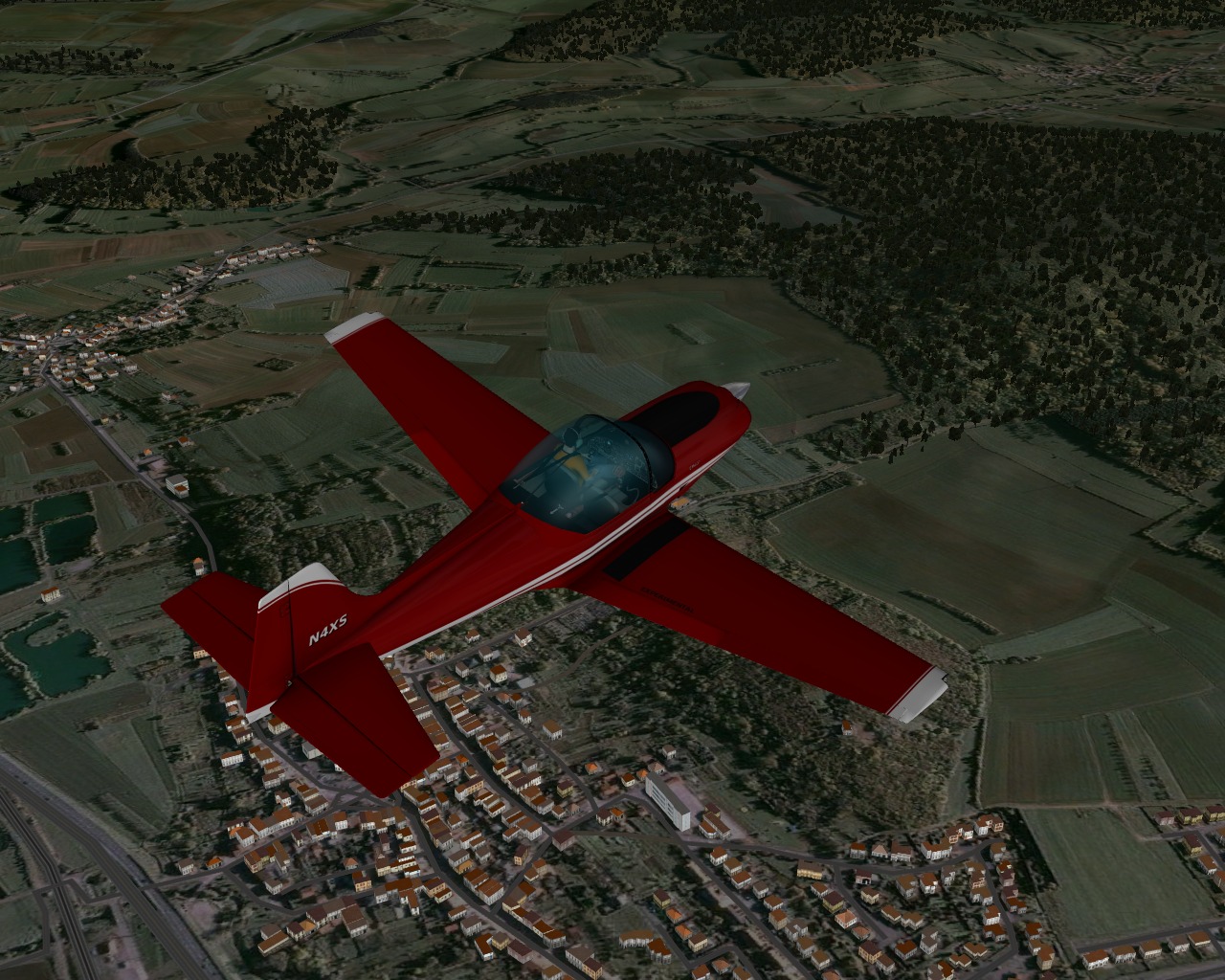
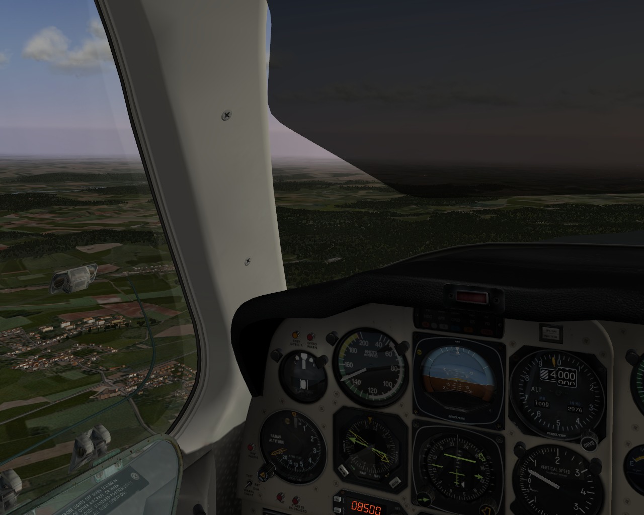
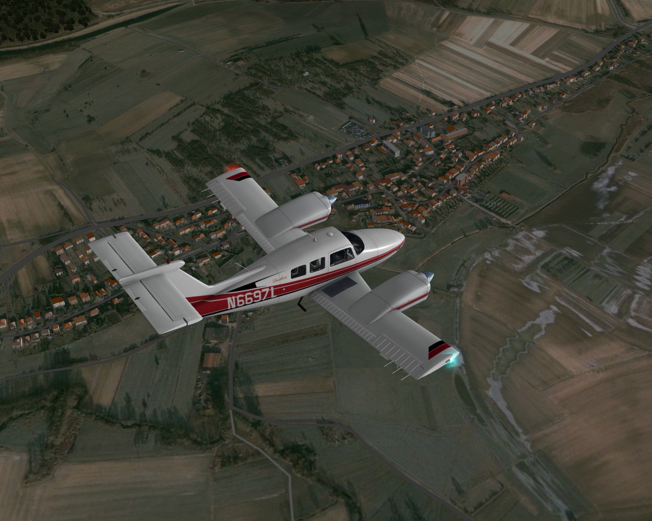
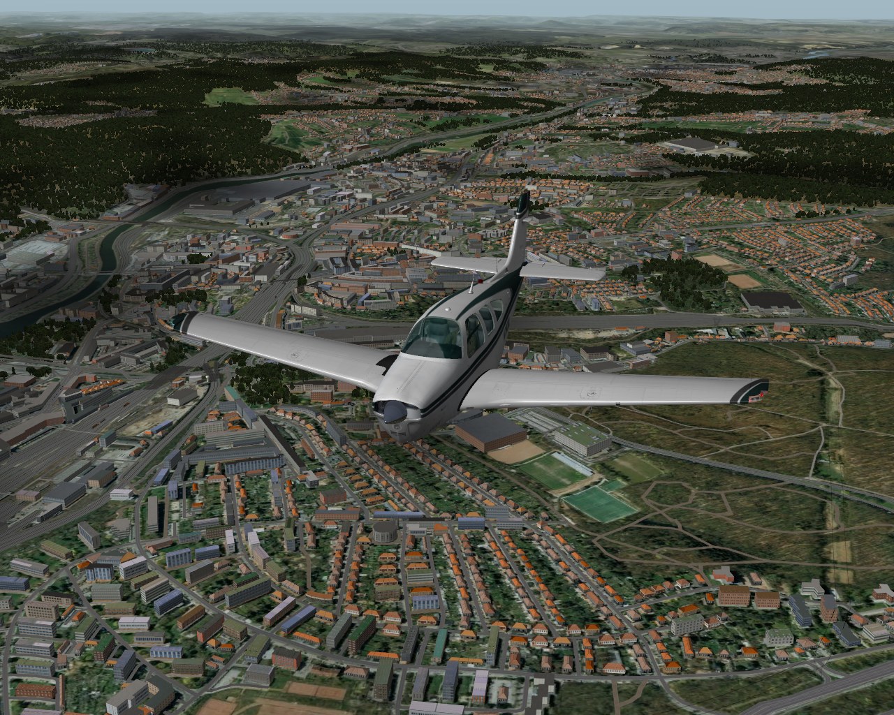
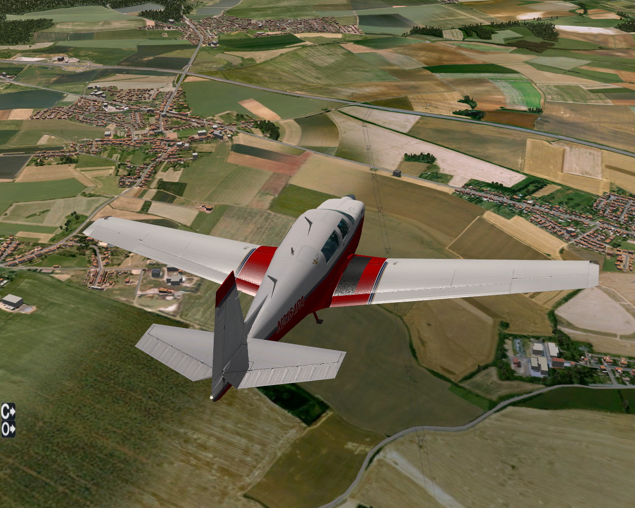
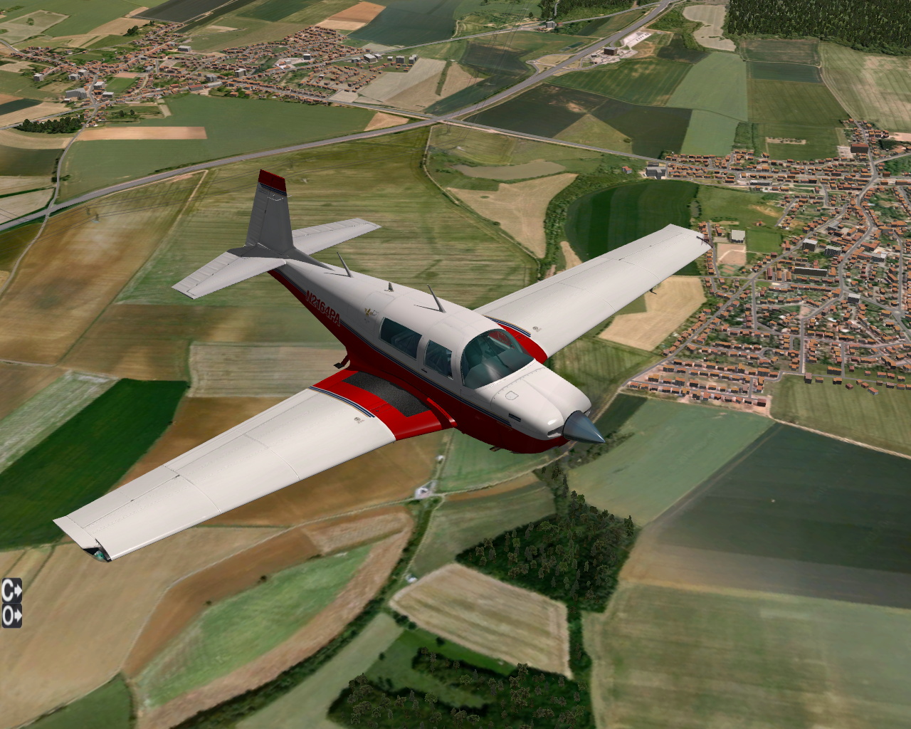
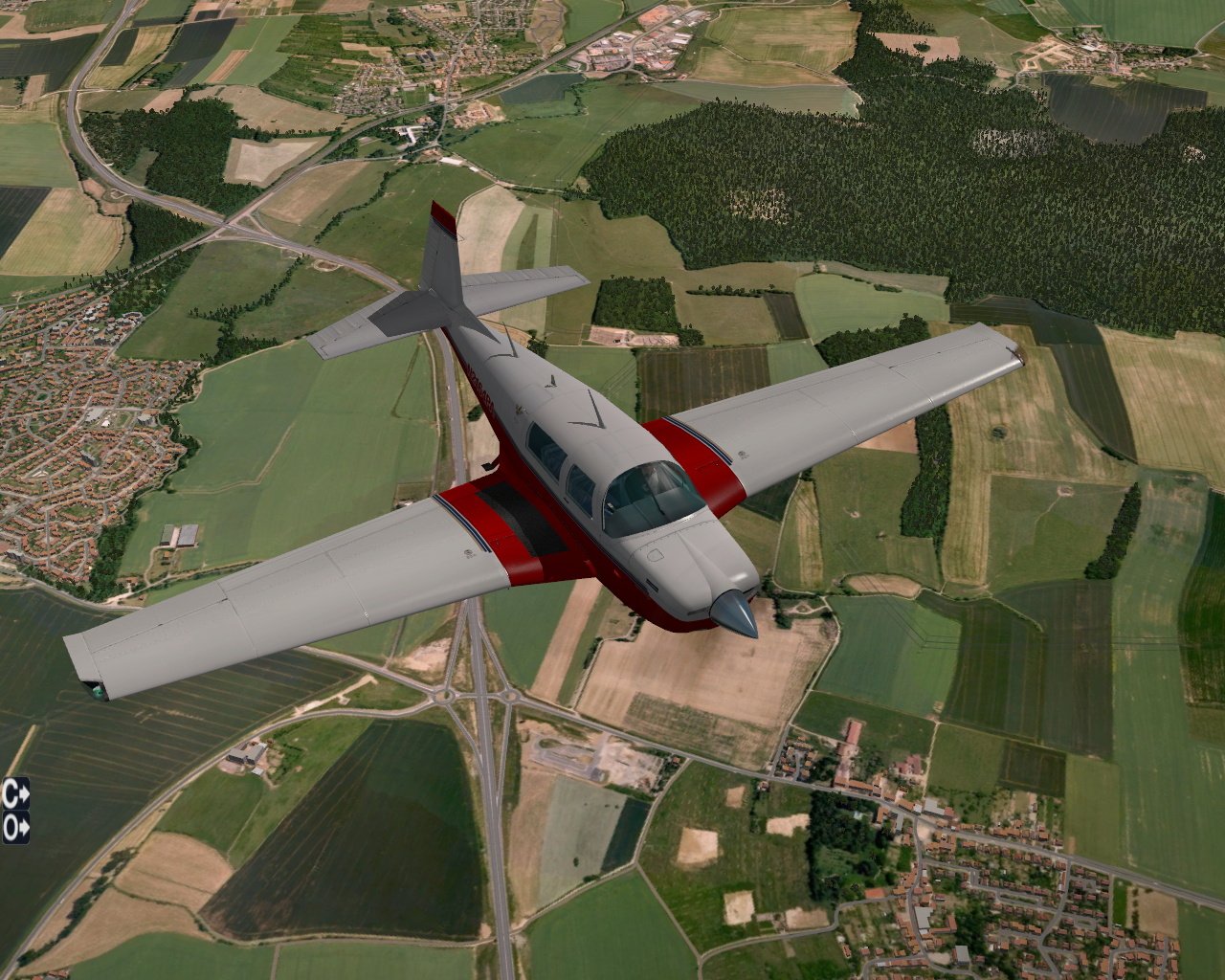
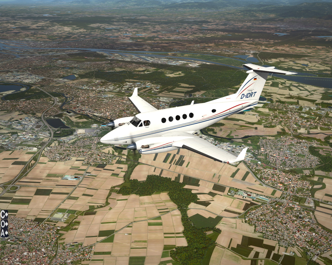
Here you can find new screen shots I made in X-Plane 10 with:
orthophoto ground textures
roads, railways and power-lines generated with XPOSM
3D buildings and forests generated with OSM2XP
Here’s the place for the last picture:http://www.openstreetmap.org/?lat=49.0612&lon=6.1916&zoom=14&layers=M
Happy mapping or flying !
MdMax
May 31, 2014, 7:42pm
8
Hello !
There’s a new freeware tool for generating 3D sceneries in X-Plane using OpenStreetMap, it’s called World2XPlane :http://world2xplane.com/
Flight simulation never looked so real !