Pytanie techniczne: czy jest ktoś zainteresowany tematem, kto nie umie po angielsku na tyle płynnie, żeby uczestniczyć w dyskusji? Jeśli taki się znajdzie, to proponuję zasadniczo przejść na polski i tylko zostawić gościom decyzję jak im będzie wygodniej - ale jeśli nikt nie potrzebuje, to niech się dalej toczy jak dotąd.
I am afraid - no. Definition is “Highways with motorway-like access restrictions.” and later clearly states “It is not the same as a limited-access road”. Sign image is just misleading.
We need strict simple definition: “highways marked with Limited access road1 sign” . IMHO http://wiki.openstreetmap.org/wiki/Key:expressway is good candidate.
BTW. motorway=yes in Poland is IIRC already used for regular (from legal point) roads which allow fast traffic without traffic lights, stop signs, same level crossings etc … like DTŚ 2.
Well, it really depends on country - http://wiki.openstreetmap.org/wiki/Highway:International_equivalence
Some mark expressways as highway=trunk (and highway=trunk are exclusively expressways in that countries). This tends to happens in countries with huge motorway/expressway networks, which cover a resonable % of country.
Others mark expressways according to their national reference system, and add motorroad=yes. This happens a lot in countries with small motorway/expressway networks, or lacking one (like in Ukraine, where there are only 2 motorways, no connected to each other).
“Limited access roads” are roads which do not have driveways to adjacent property (not directly connected to adjacent property).
Motorroads are roads which can be used by drivers of vehicles with engine (excluding motorbike I guess).
When I was talking about express ways, I meant motorroads. Rule can be easy. If you see “Highway” sigh  , set highway=motorway. if you see
  , then use motoroad=true
And use primary, secondary and etc highways to assign “Kategorie dróg publicznych”
Well, that would be a lot of changes ![]() What with residentials and unclassifieds?
What with residentials and unclassifieds?
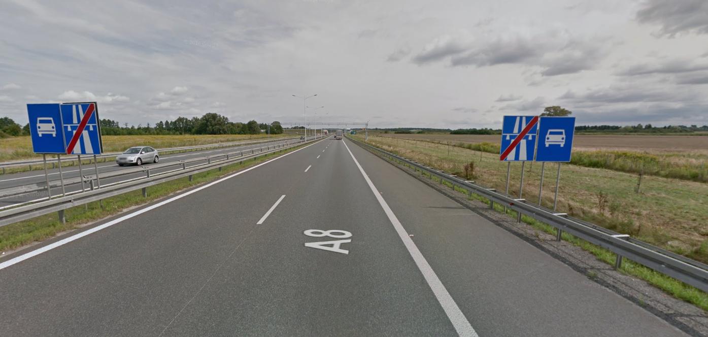
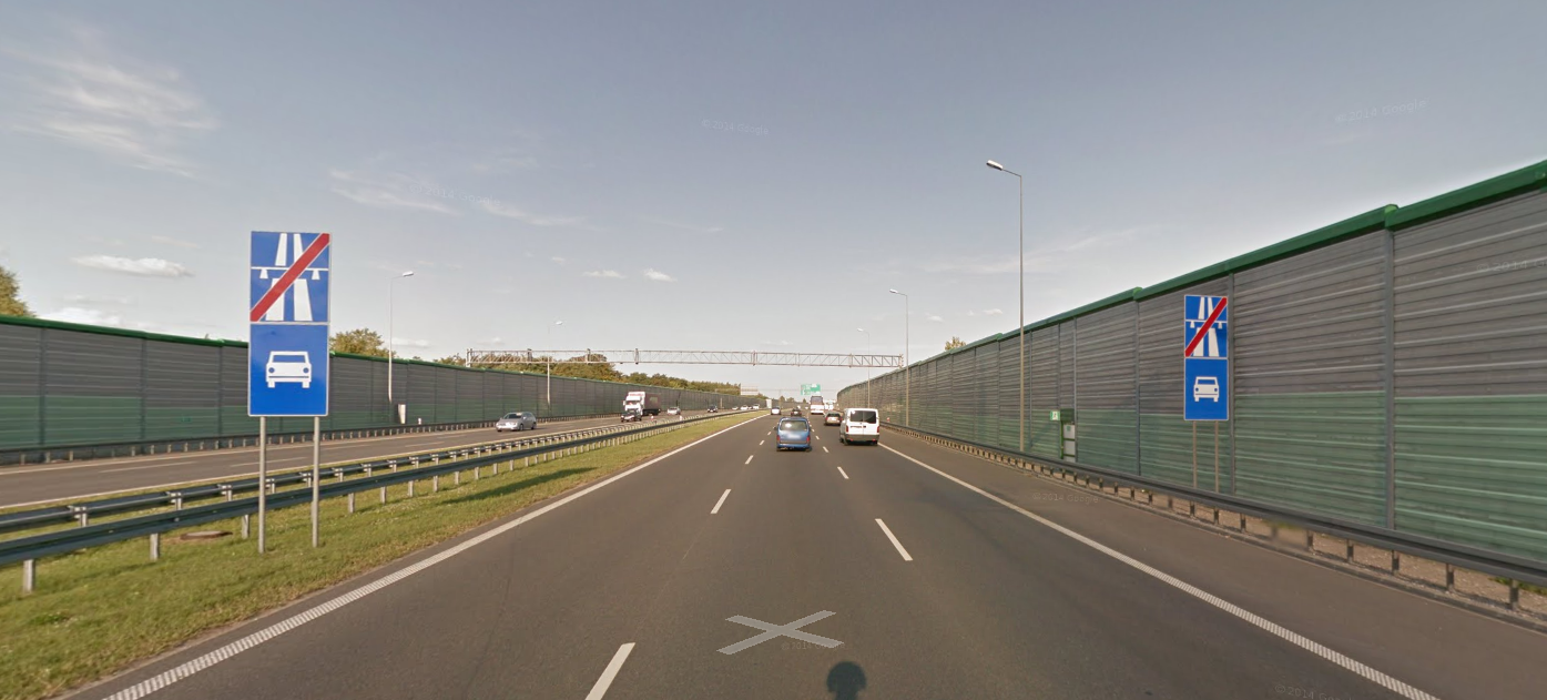
S class roads in Poland are very important group of roads, you can find out, that offently this in natural continuation of A class roads, see for example how A8 get into S8, similar A1 into S6, A2 into S2:
So I think for consistency of network, motorway tag would be better for S-roads and its compatible with OSM definitions of motorway tag. Similar situation is in Austria, where also S roads are with motorway tag. Also in Spain there are two types of high performance ways: autopistas and autovías and both with motorway tags.
For trunk the rest from category “droga krajowa”, but only this, which belong also to International E-road network.
All another from “droga krajowa” catogory should be “primary.”
Motorways and trunks will then form consistent network of roads:
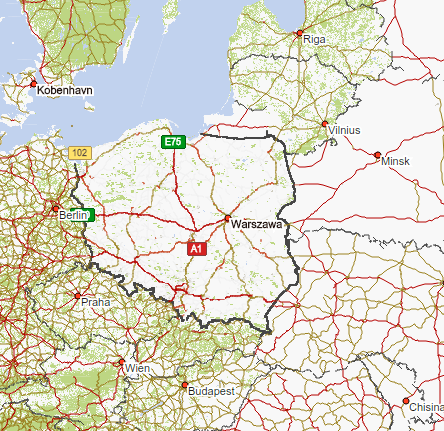
Image form most popular commercial solution in Poland - Automapa.
After that we can also start efforts to implement expressway tag dedicated for motorway-like roads and when we get it - use it for S roads.
You can keep them as is.
Is it possible that S-road has 1 lane? If yes, then it makes no sense for me to assign Motorway for S roads.
On the Wiki there is no information about this requirement:
BTW, current scheme is following (scroll web page down):
-
motorway = autostrada - klasy A
-
trunk=klasy S
-
primary = drogi krajowe
-
secondary = drogi wojewódzkie
-
tertiary = drogi powiatowe
-
unclassified = drogi gminne
On the map1.eu Road network is pretty nice. Unfortunately this map is not up to date.
Yes but by using local knowledge you can decide: giving motorway or trunk. For example S6 near Słupsk, S22 to Kalingrad, definitely trunk.
This systems does’nt work and we know that we have to change it. For now solution is making exeptions, but when someone new came, he just make a mess in area. Like just happen yesterday in Gdańsk. Check for example: droga krajowa nr 89, droga wojewódzka 501, droga wojewódzka 468. Again, local knowledge is very usefull here.
So, you want something like that:
-
motorway = autostrada - klasy A, klasy S - dwujezdniowa
-
trunk = drogi krajowe – klasy S-jednojezdniowa, GP, a wyjątkowo G,
-
primary = drogi wojewódzkie – klasy G, Z, a wyjątkowo GP,
-
secondary = drogi powiatowe – klasy G, Z, a wyjątkowo L,
-
tertiary = drogi gminne – klasy L, D, a wyjątkowo Z.
BTW, there are primary roads with “oneway=yes” and “lanes >= 2”. You can check it in this archive . What do you want to do with them? Some of them are in cities.
We not always have easy access to information about class of roads (A/S/GP/G/Z/D). This information is easy to get only for A and S value, also prety easy for GP. So I dont even know how looks G - roads network.
Your list is not exactly what I want. My proposal is:
motorway = A class roads and S class roads with two seperate ways
trunk = S-class with one way, GP roads (also if belong to droga wojewódzka category, see DW902 (so called DTŚ)), drogi krajowe included in E european network https://pl.wikipedia.org/wiki/Trasa_europejska
primary = all another from category drogi krajowe
secondary = drogi wojewódzkie, but could be also droga powiatowa if fulfill function of secondary roads, example: http://www.openstreetmap.org/way/201013571#map=18/54.37925/18.29139
tertiary = all another from drogi powiatowe and every asphalt roads leading from one village to another
As you see if someone wants to inspired on autorities road network will always fail. Sorry, its just not comaptible with this what OSM requieres. Also commercial solution noticed that, what I wanted to prove in first post of this topic.
I was talking about how looks network of this roads. This information is not on road signs. If we want to know that, we have to looking into road documentation.
There maybe an issue. Some S road can have 2 lines and then after N kilometers it can switch to one line road. And then after M kilometers it can switch back to 2-lanes road. On the map you will get a hole in network because 2-lanes road will have highway-motorway and 1-lane road will have highway=trunk. On low zoom (7-8 on mapsurfer for example) trunk will not be rendered well.
I dont think so that will be a hole, because motorway and trunk in my opinion are working together to show the most important roads in area. Also, as far as I know, there is a rule to keep road network simple and consistency, without cuting on small pices with different classification.
I know only one way described by you, - S6 near Slupsk. But this road in fact is still under cosntruction, so cutting it can help to show where building is done and where is not.
I’ve found one more article on Wiki Autostrady i drogi ekspresowe w Polsce . On this page differences between Expressways and Highways are:
-
Highway has at least two lines. Expressway has 1-2 lanes.
-
Highway has speedlimit 140. Expressway has speed limit 120
-
Most important: Expressway can have intersections with other public roads on the same level. It means, traffic lights can be used. On highway there are no intersections in the same level.
AFAIK in Germany there is no speed limit on Highway.
Using local knowledge we decide, which one going to motorways and which one to trunks.
According to OSM Wiki http://wiki.openstreetmap.org/wiki/Tag:highway%3Dmotorway there is not such requriment. Depending on country there are already motorways with speed limit 120. This is a very decent speed. Notice also that 120 is only for S-roads with two lanes in each directions and only for them I proposed motorway tag.
But in Poland we dont know such example. If such road will be build, proper tag will be trunk.
Because in Germany signs are used to regulate this. In Poland authorities are using class of roads because its cheaper, much less signs to place.
I see that you are looking for regularity. Well, all GP - roads should go to trunk but S class roads we really should seperate for two tags. That will make our map better.
Also want to remind, that on the end we schould request for new tag: highway=expressway fos motorway-like roads. But before that we schould start using motorway tag for S-roads with two lanes in each directions to properly argue that we really neeed this new tag.
http://osm.mapki.com/history/way.php?id=348714089
http://osm.mapki.com/history/way.php?id=65623093
Trochę zaczyna to być śmieszne. Tak w kółko będziecie?
dammat, tę ostatnią to ja słabo widzę jako primary. Ja naprawdę zaczynam się gubić w tej logice. Skąd ta ulica primary, ale Chłopska już nie?
Komentarz: “revert changes maked without consultation with Community. Please read OSM Forum for more information”, ale zmiana Twoja http://www.openstreetmap.org/changeset/28533490 na podstawie artykułu jest wręcz mocno kontrowersyjna.
Także moje pytanie: jakie są podstawy merytoryczne i technologiczne aby dać Jana Pawła primary, a Chłopskiej nie?
Dlaczego także Hallera nie jest primary?
Zapewniam Cię, że nikt nie pojedzie po primary z kierunku Letnicy na Słowaka.
Charakter Jana Pawła jest taki, że to zwykła droga dla mieszkańców, tyle że dwujezdniowa jako spadek po planowaniu z lat 70 bodajże.
Technicznie, ta droga podpada ledwo pod klasę Z (zbyt krótkie odcinki miedzy skrzyżowaniami: 150m zamiast 300m), nawet w różnych papierach GiKu, nie widać jej jako zbiorczej, a zwykłą residential (żeby użyć terminologii OSM).
Czyli, to wszystko się kupy nie trzyma.
Armii Krajowej wariuje od secondary do trunk: http://osm.mapki.com/history/way.php?id=303423032
Nawiązując do innej dyskusji: jeżeli ktoś się zastanawia, dlaczego firmy kupują komercyjne dane mapowe, to taka historia zmian daje pewne wyobrażenie…
@dammat: czemuś się uwziął na psucie dróg? Nie masz zgody wśród społeczności a ciągle robisz wojenki podjazdowe.
Naszło Cię na robienie rewolucji po tym, jak Yanosik przesiadł się na dane OSM. Myślisz, że psując dane w OSM naprawisz routing w Yanosiku?
Zapewniam, że wielokrotnie próbowałem się skontaktować z userem rimshev22, nigdy mi nie odpowiedział. Może nie zna angielskiego? Ja niestety nie znam rosyjskiego.
Nowa Słowackiego nie jest jeszcze gotowa w całości, załóżmy, że tunel pod Martwą Wisłą jest już gotowy, brakujący odcinek od Hynka do drogi Zielonej jest co prawda w planach ale daleko do jego budowy. Uzupełnię, że Słowackiego to ważny trakt komunikacyjny, który ostatnio zyskał wiadukt nad ulicą Grunwaldzką, dzięki temu stał się główny szlakiem komunikacyjnym od północnych dzielnic Gdańska do lotniska, obwodnicy. Zalecany przez UM przejazd tworzący tymczasowy ring zbierający ruch z tych terenów przebiega własnie przez Jana Pawła II. Z Hynka są dwa pasy w lewo, Chłopska + Jana Pawła II zapewnia odpowiednią przepustowość, większą niż z Hynka przez Hallera.
Zaczęło się od thepiterwayne, któremu nie podobało się się że droga GP, jaką jest Armii Krajowej, nie ma secondary, bo tak się składa, że to również wojewódzka. Wyrównał więc jej status z równoległą Kartuską. Trzeba być lokalsem żeby zrozumieć dlaczego to jest po prostu nie tak, ewentualnie pozwiedzać miasto z GSV. rimshev22 zaczął poprawiać przede mną, ale używał jakiegoś edytora webowego i nie zrobił całości zmian pirata więc wygodniej było mi cofnąć oba changesety.
Naprawdę znowu uderzasz w ten ton? Klasyfikacją dróg zajmuję się dużo wcześniej niż Yanosik wdrożył OSMa, nic mnie z Yanosikiem nie wiąże i coraz rzadziej go używam. Najbardziej lubię Osmanda, nawet do samochodu się sprawdza.